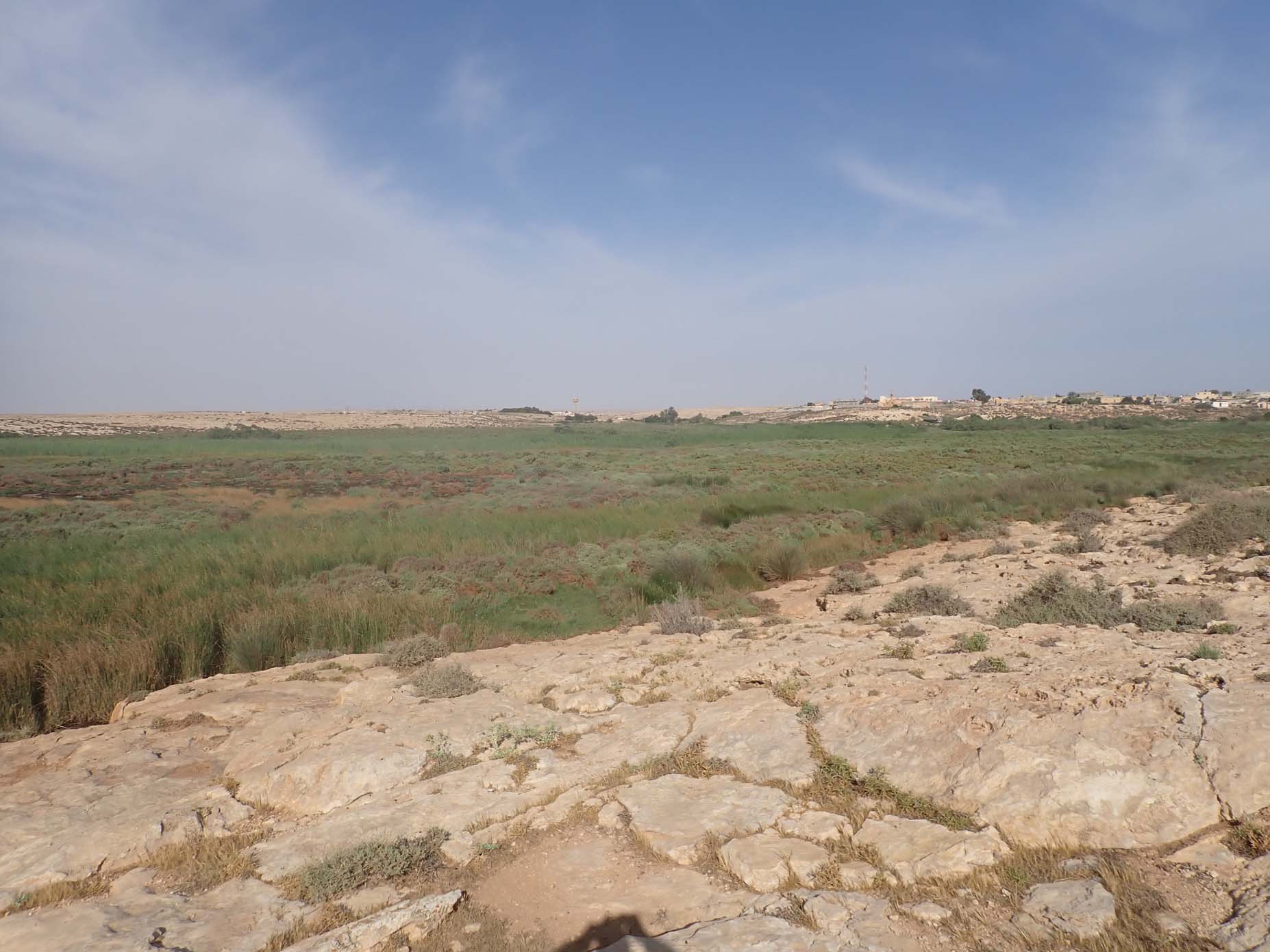
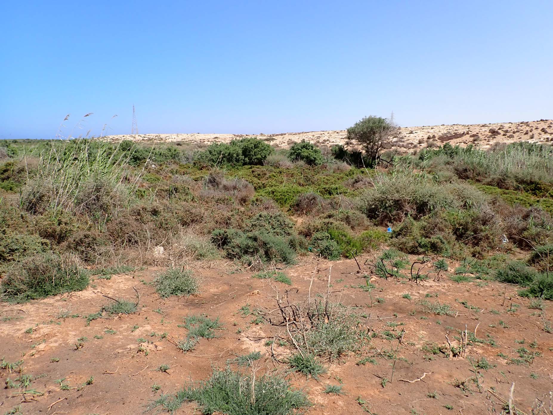
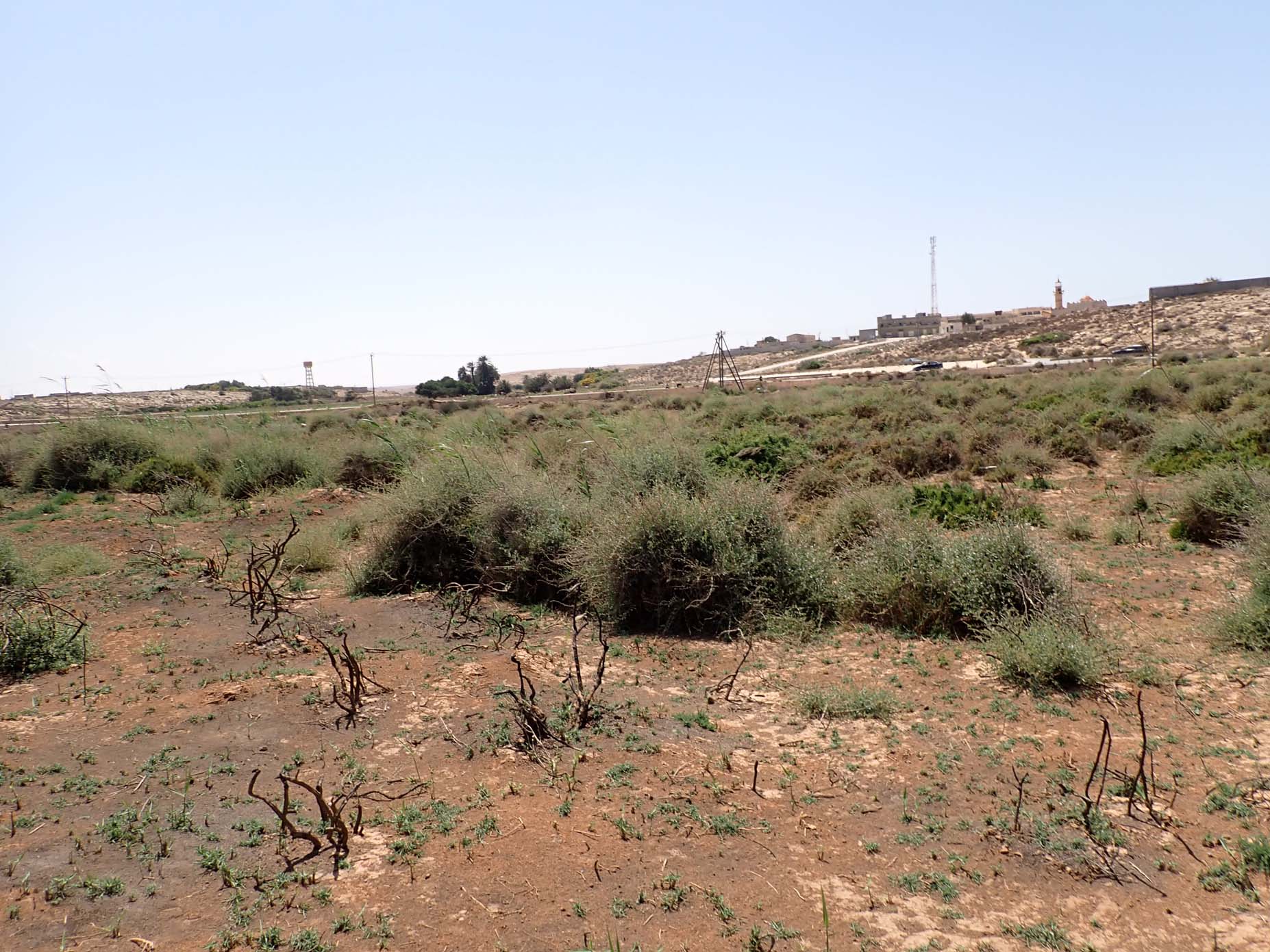
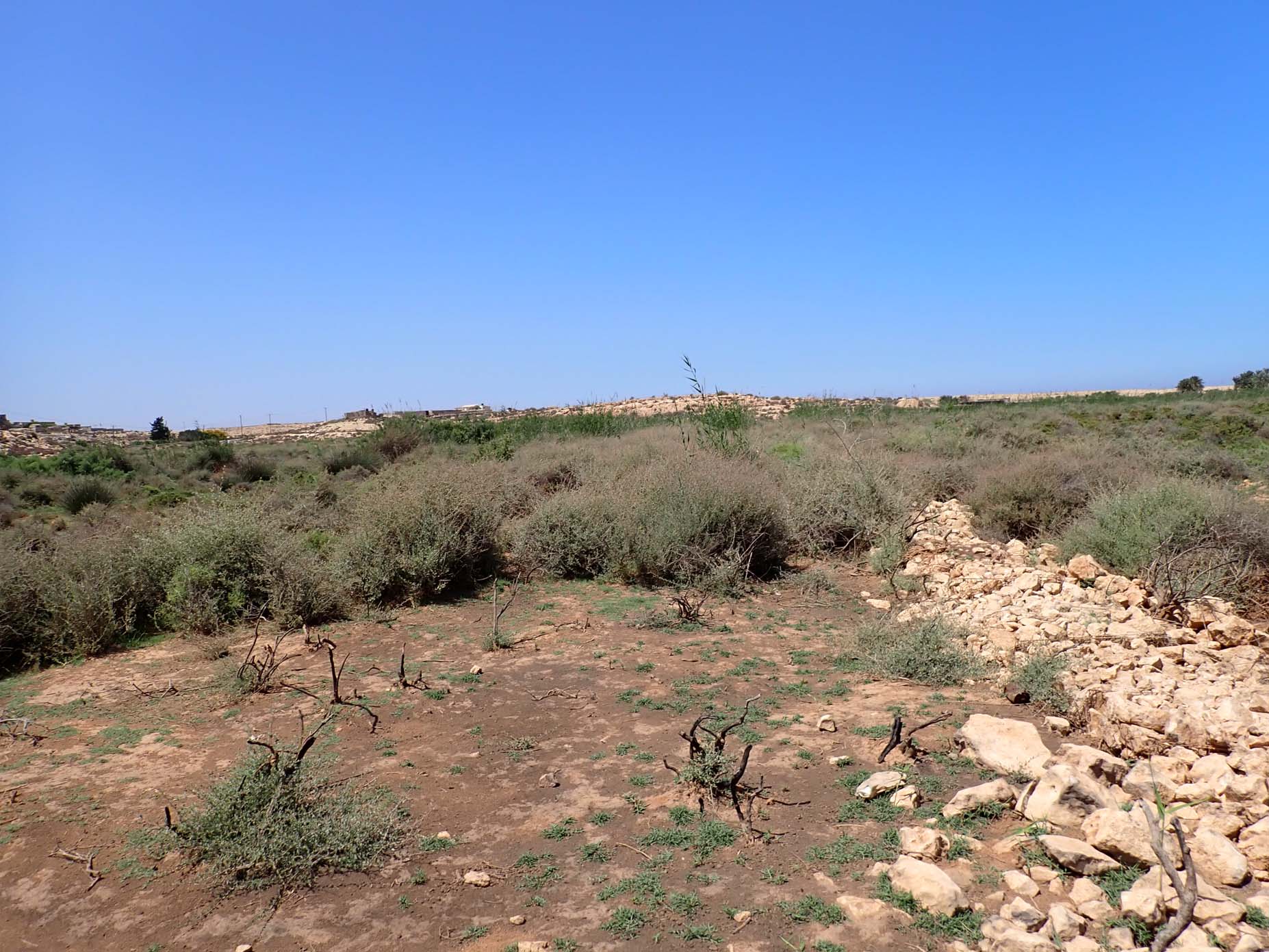
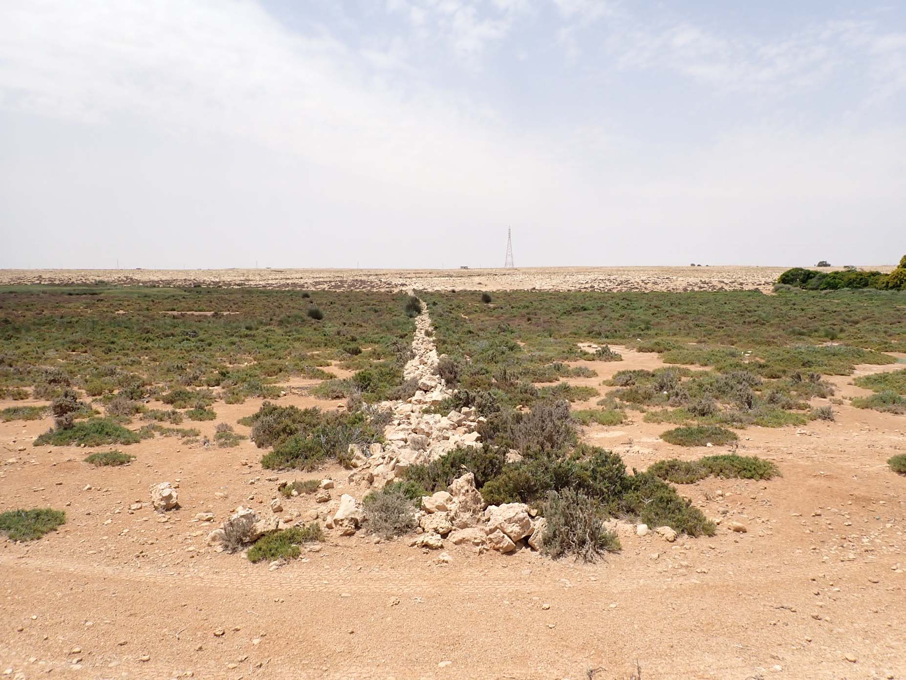
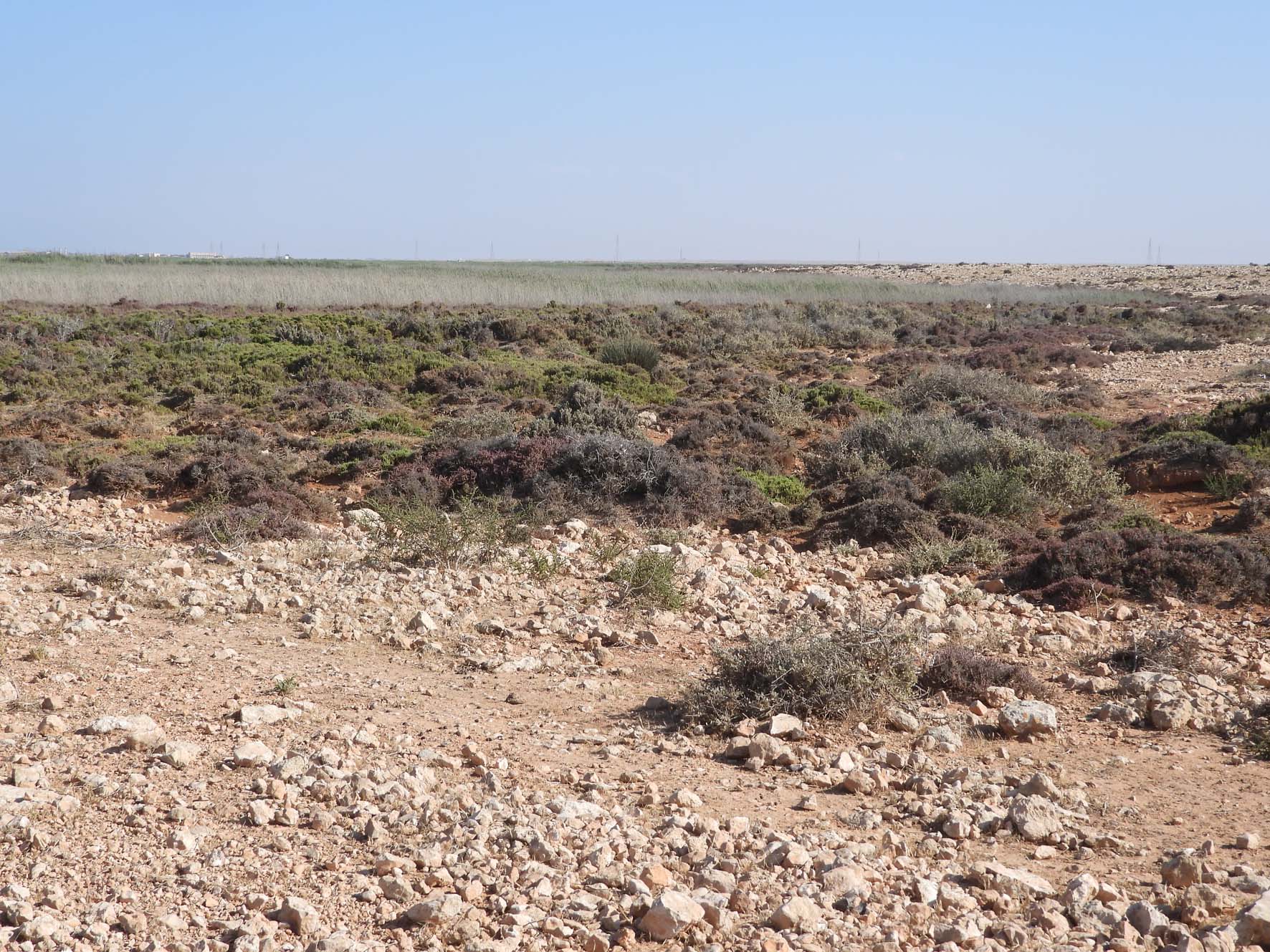
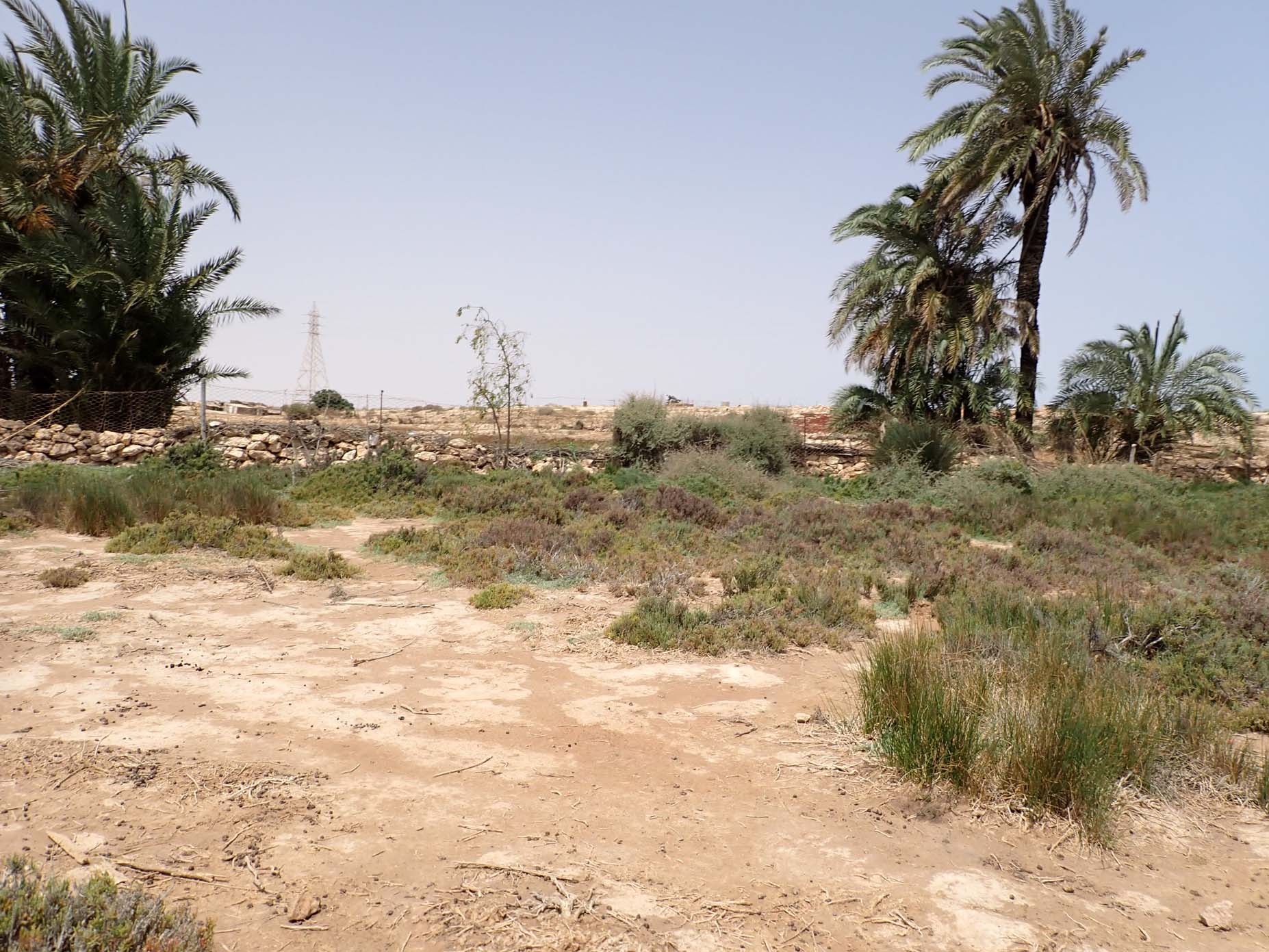
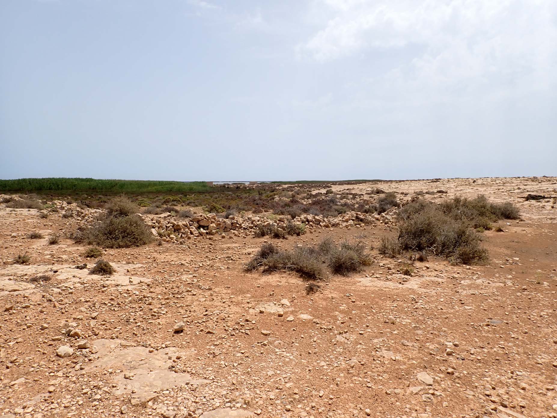
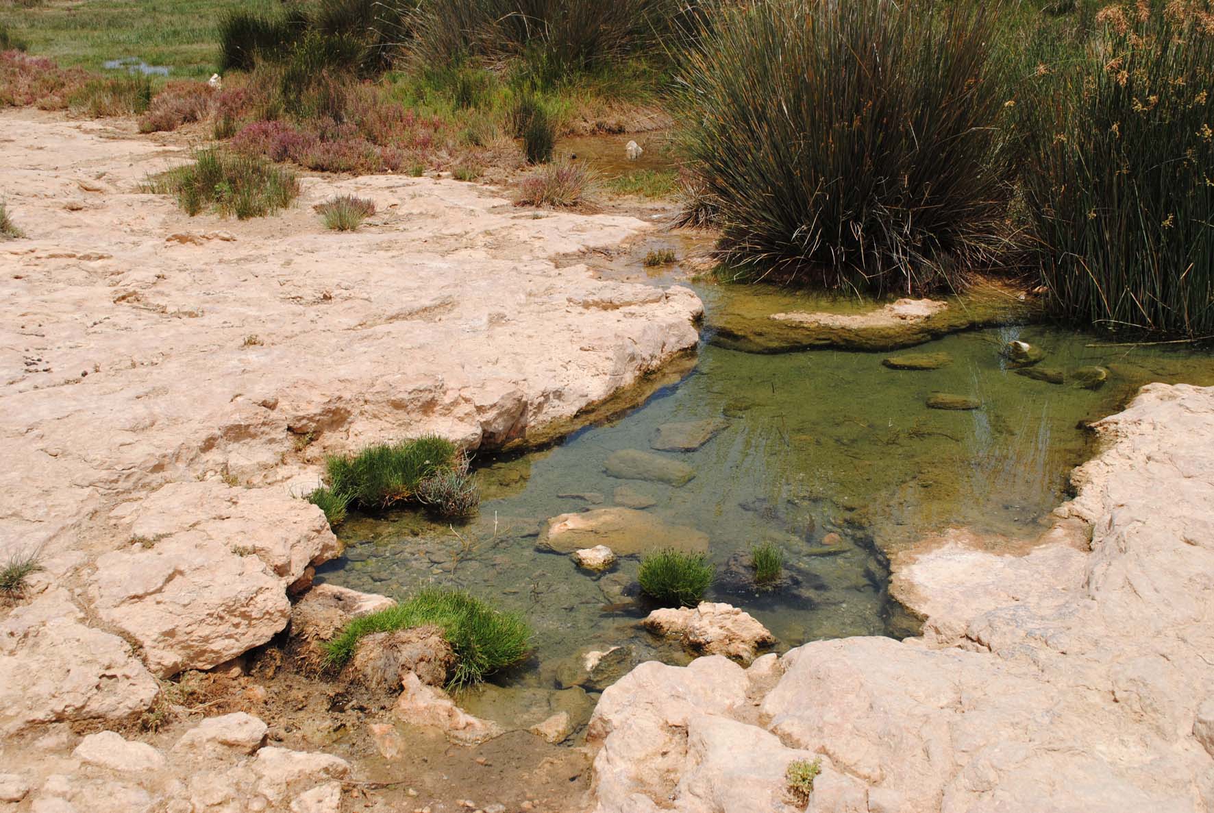
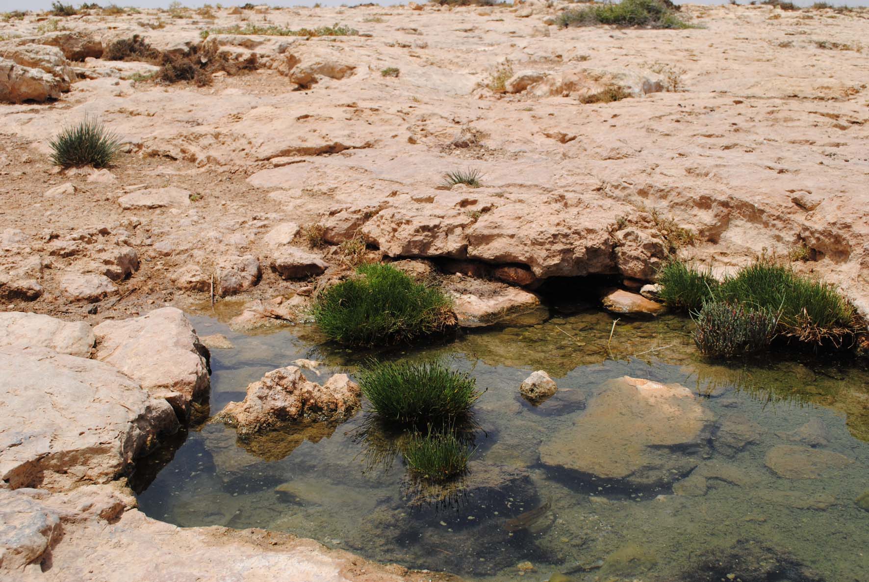
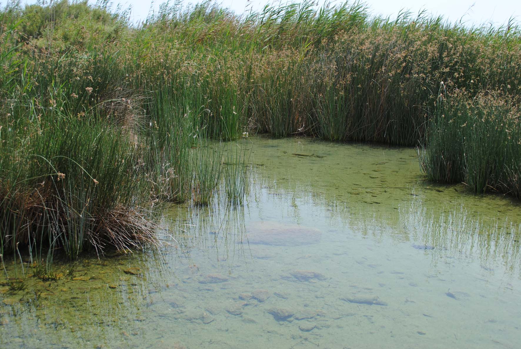
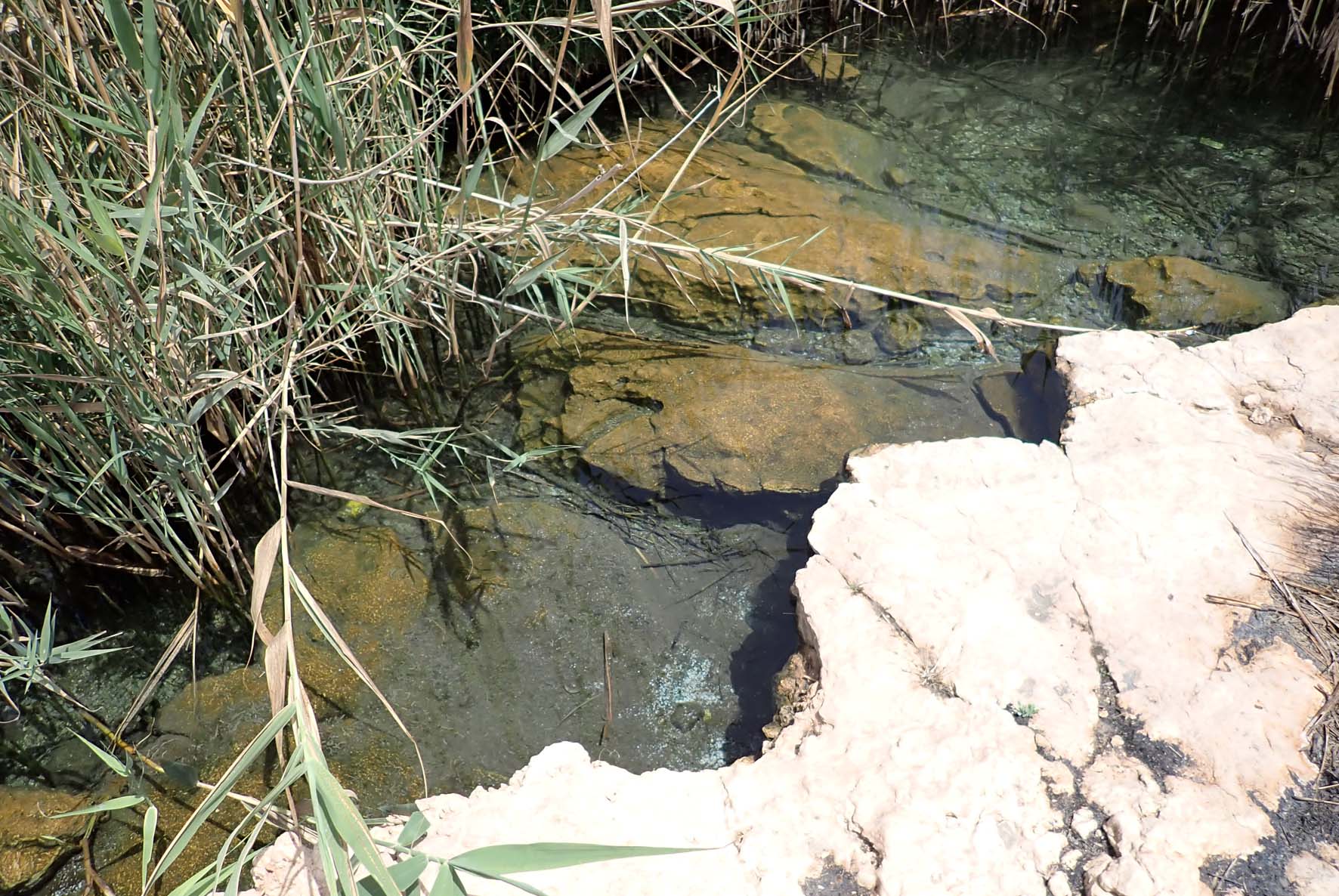
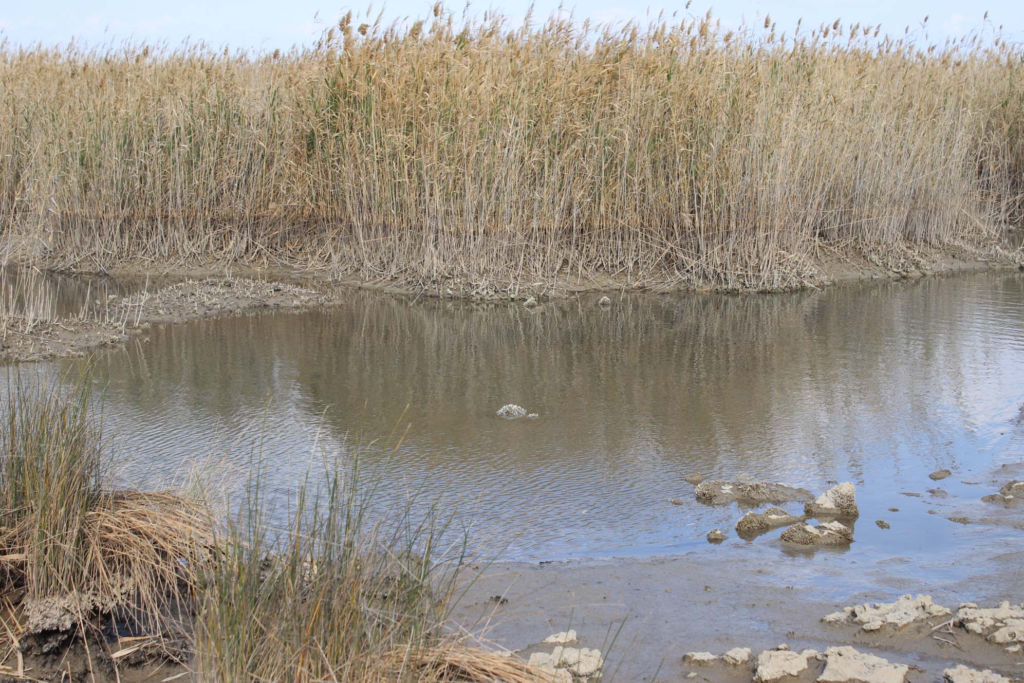
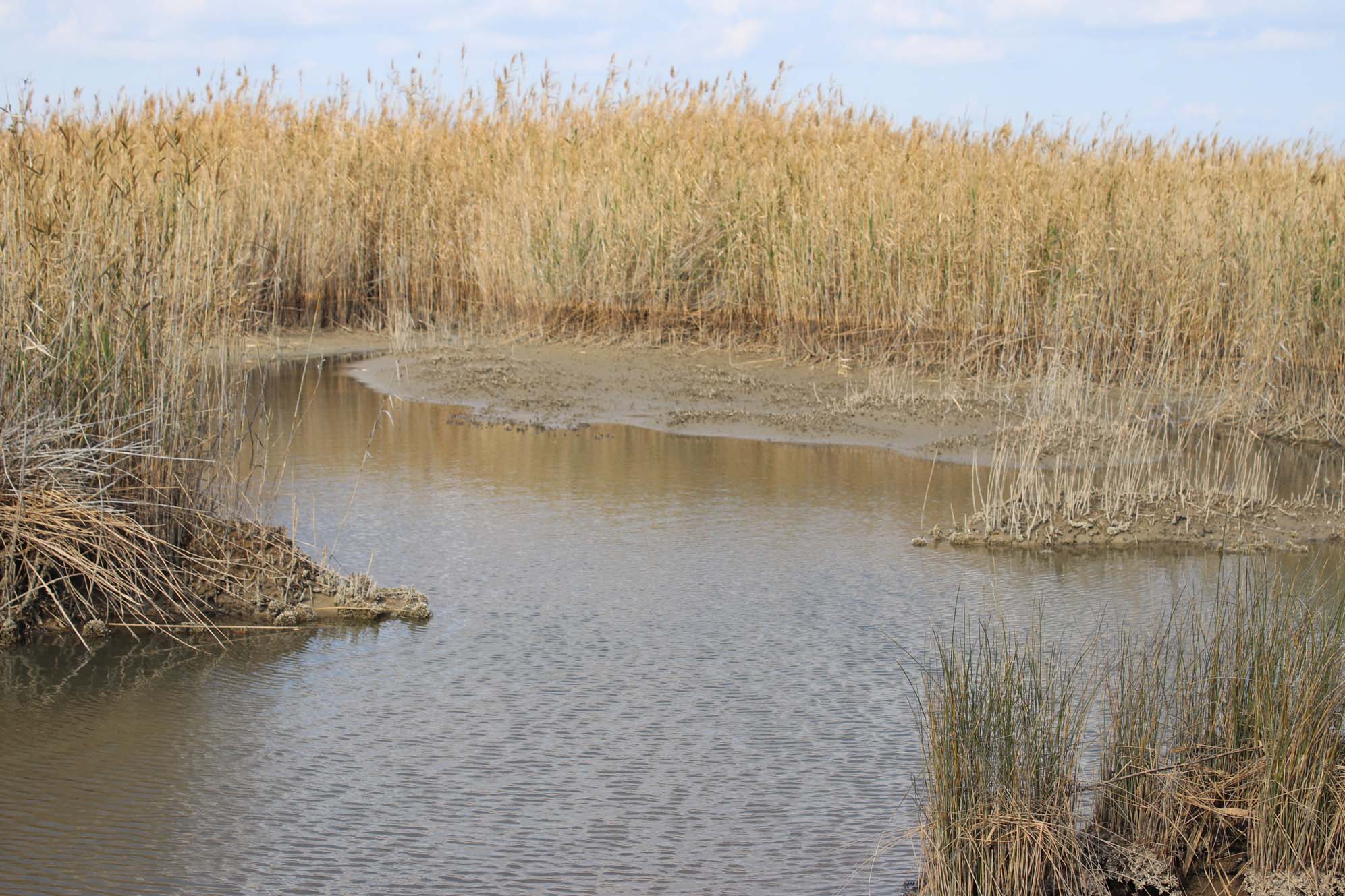
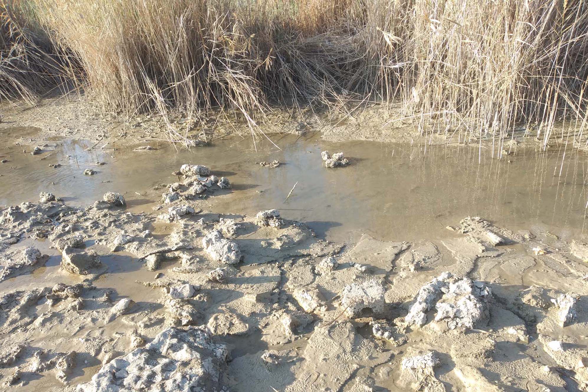
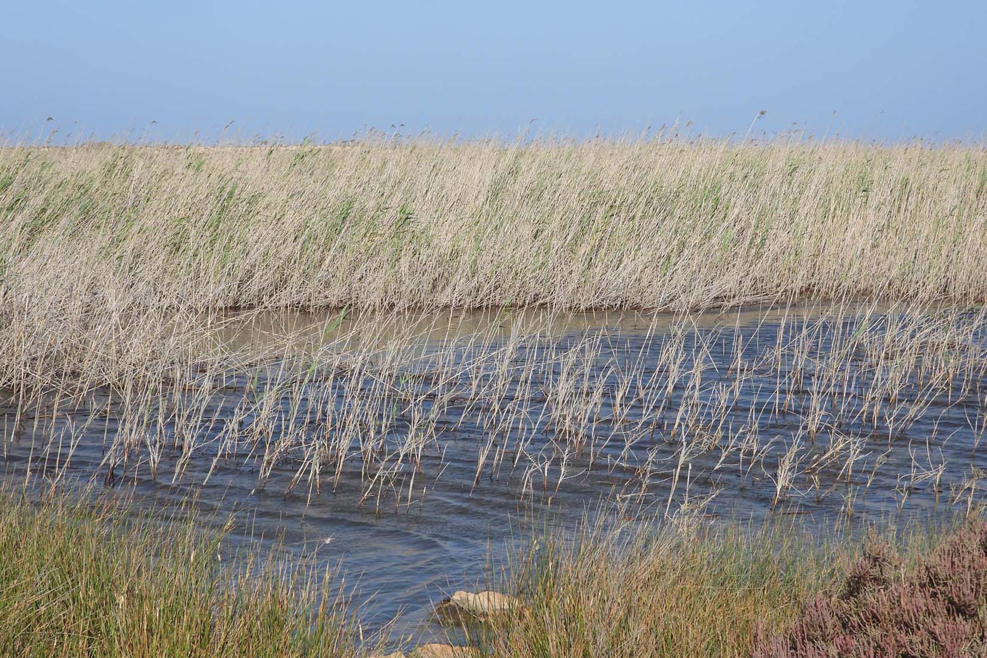
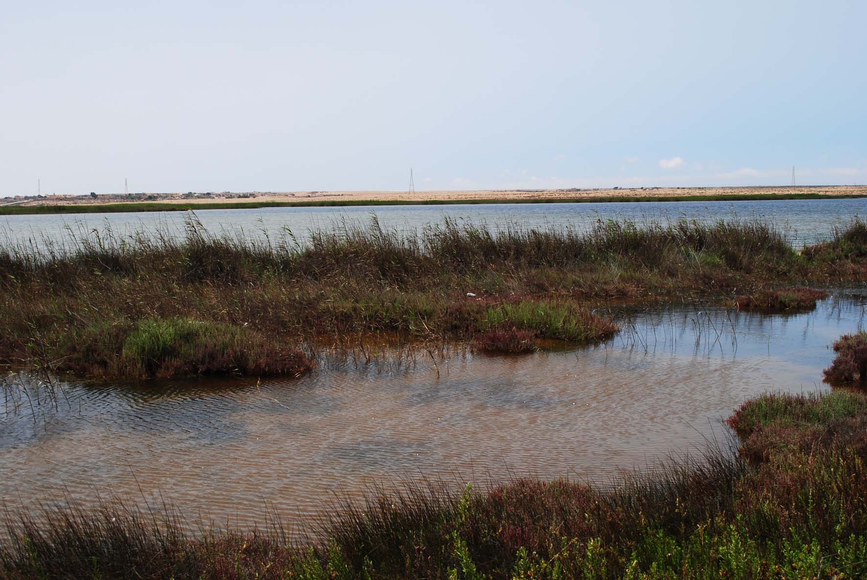
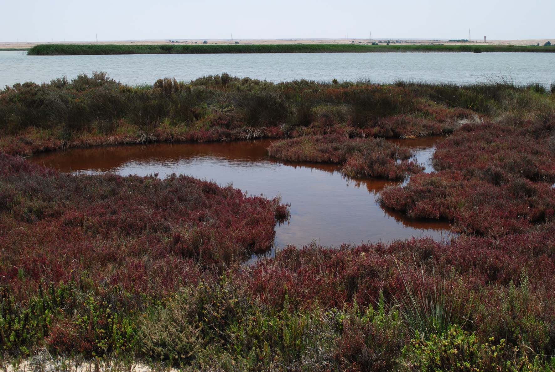
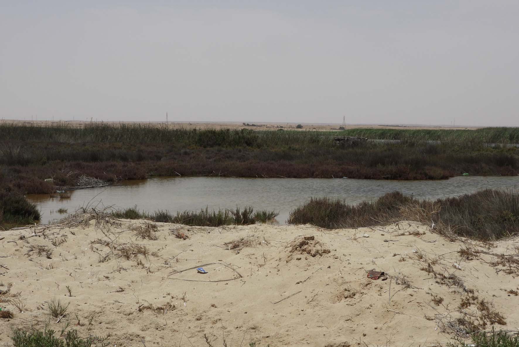
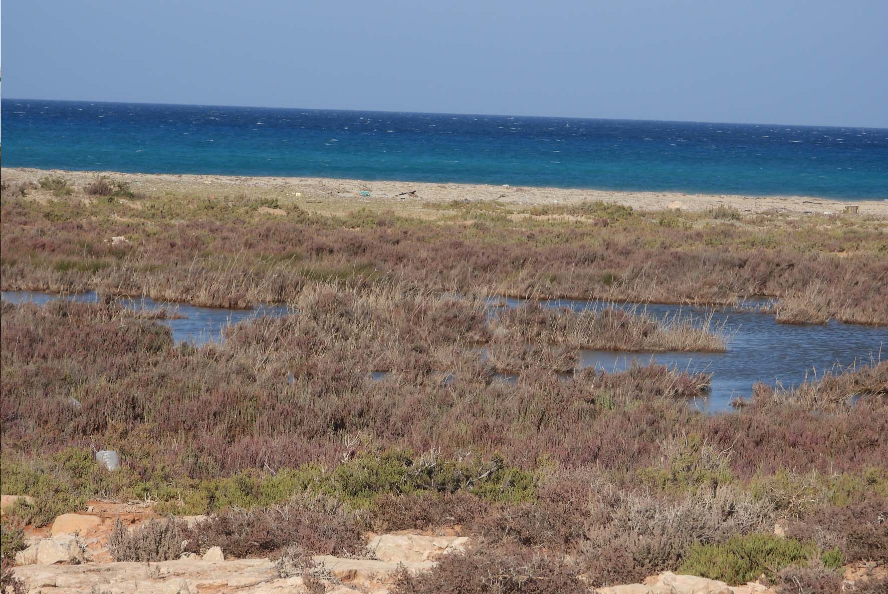
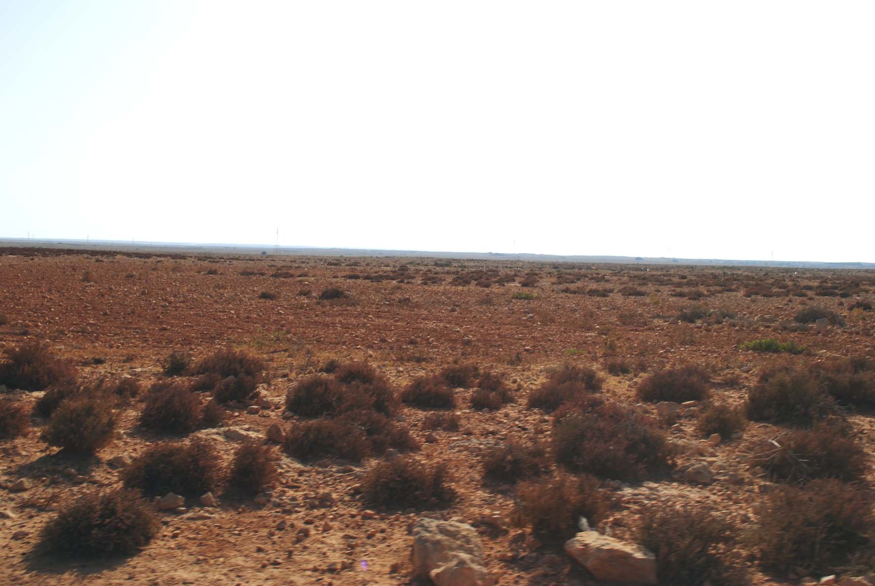
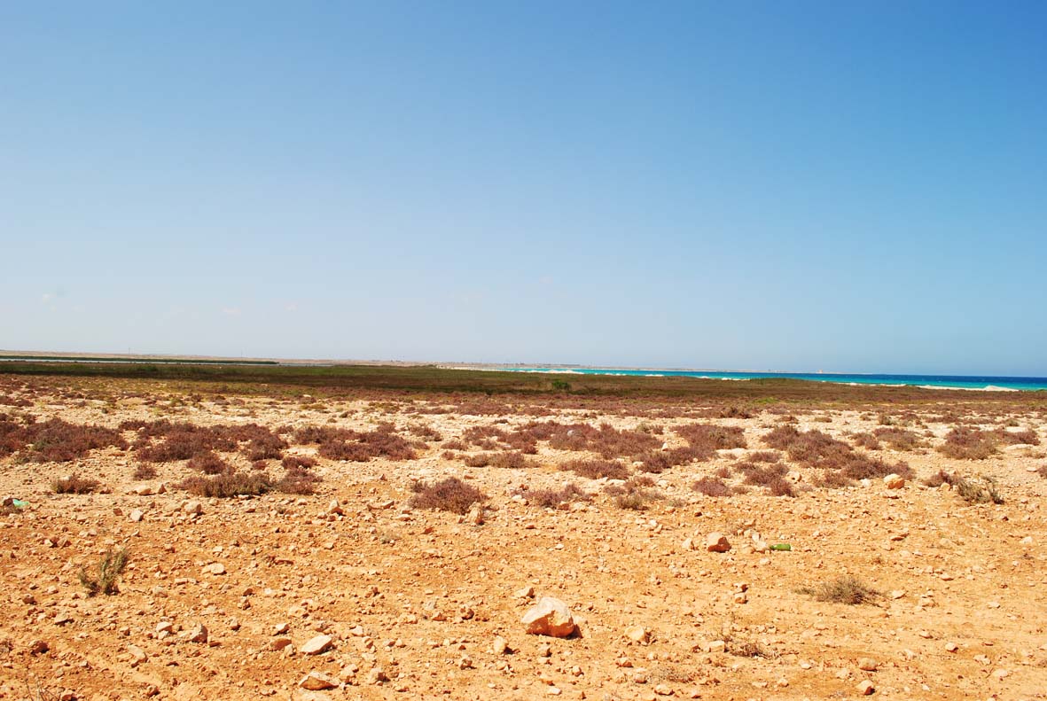
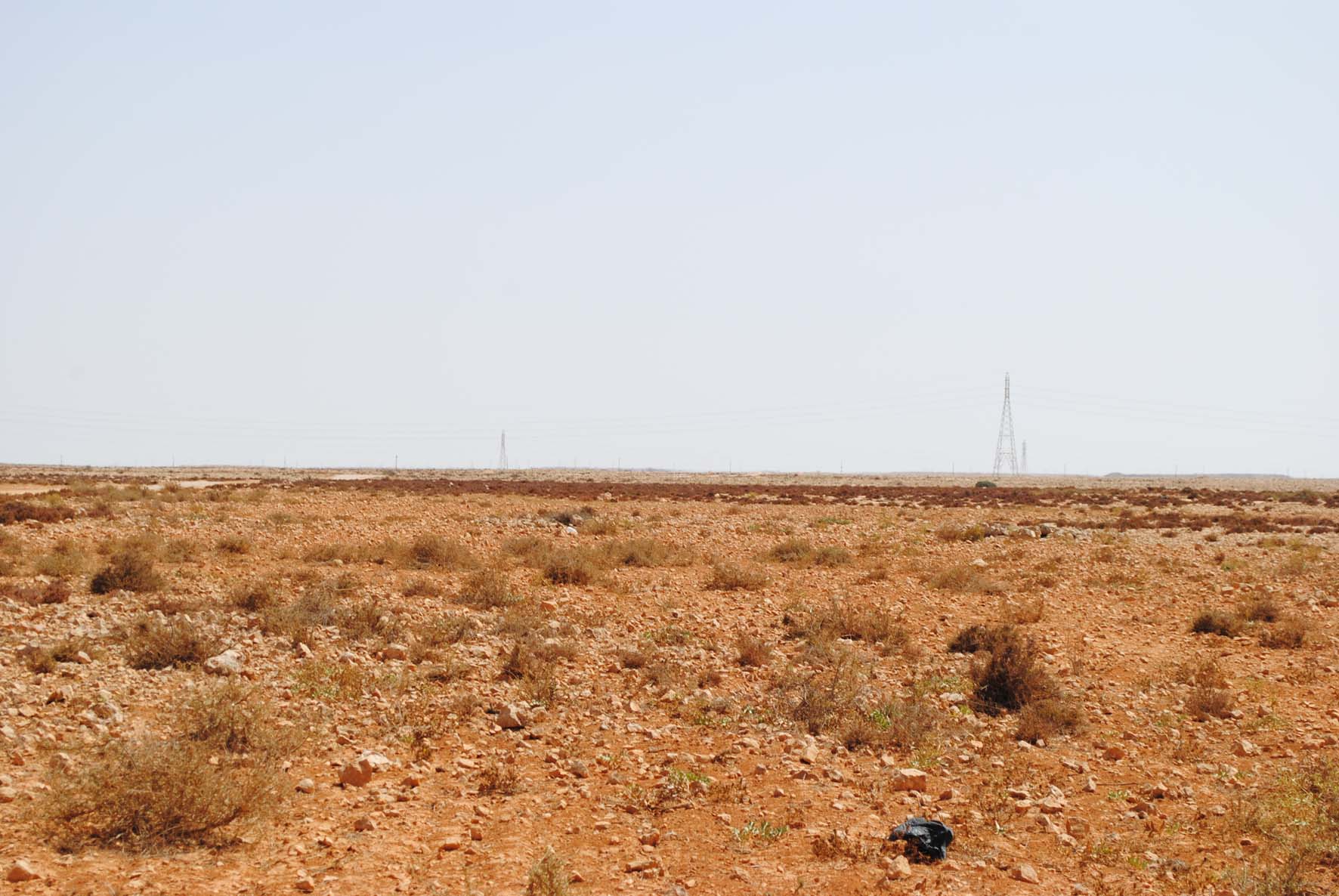
The Umm Hufayn wetland acts as the primary outlet for the surface runoff from two significant watersheds: Wadi Boutmim, which spans about 7,276 hectares, and Wadi El-Said, which covers around 6,730 hectares. During the rainy seasons, water from these valleys flows into the Umm Hufayn wetland, contributing to its hydrological dynamics.
The topography is a typical coastal landscape, characterized by low-lying wetlands and gradually rising terrain. Along the eastern edge, the Mediterranean Sea is bordered by a narrow strip of coastal sand dunes, marked in yellow, which separates the sea from the inland areas. Directly behind these dunes, the landscape transitions into expansive wetlands, which are predominantly flat, with elevations mostly below one meter. This low-lying wetland area, marked in green, stretches inland and is fed by small water channels, reflecting a marshy, water-logged environment.
Further inland, near the village of Umm Hufayn, the terrain begins to gently rise, with elevations reaching between 16 to 20 meters. This indicates a moderate elevation gain as the land moves away from the coast, following a smooth gradient. Roads connect the village to the coastal areas, suggesting that these routes follow the natural, gentle slopes of the terrain.
Overall, the topography transitions from flat wetlands and sandy coastal areas to slightly elevated inland regions, with no major abrupt changes in elevation, showcasing a landscape typical of coastal wetlands with gentle slopes rising towards the west.
1. Overview of the Geological Units
The surface geology of the Umm Hufayn wetland primarily consists of sedimentary deposits from the Tertiary and Quaternary periods. These sediments reflect both terrestrial and aquatic deposition processes, varying according to the environmental and geomorphological conditions of the wetland.
2. Tertiary Deposits
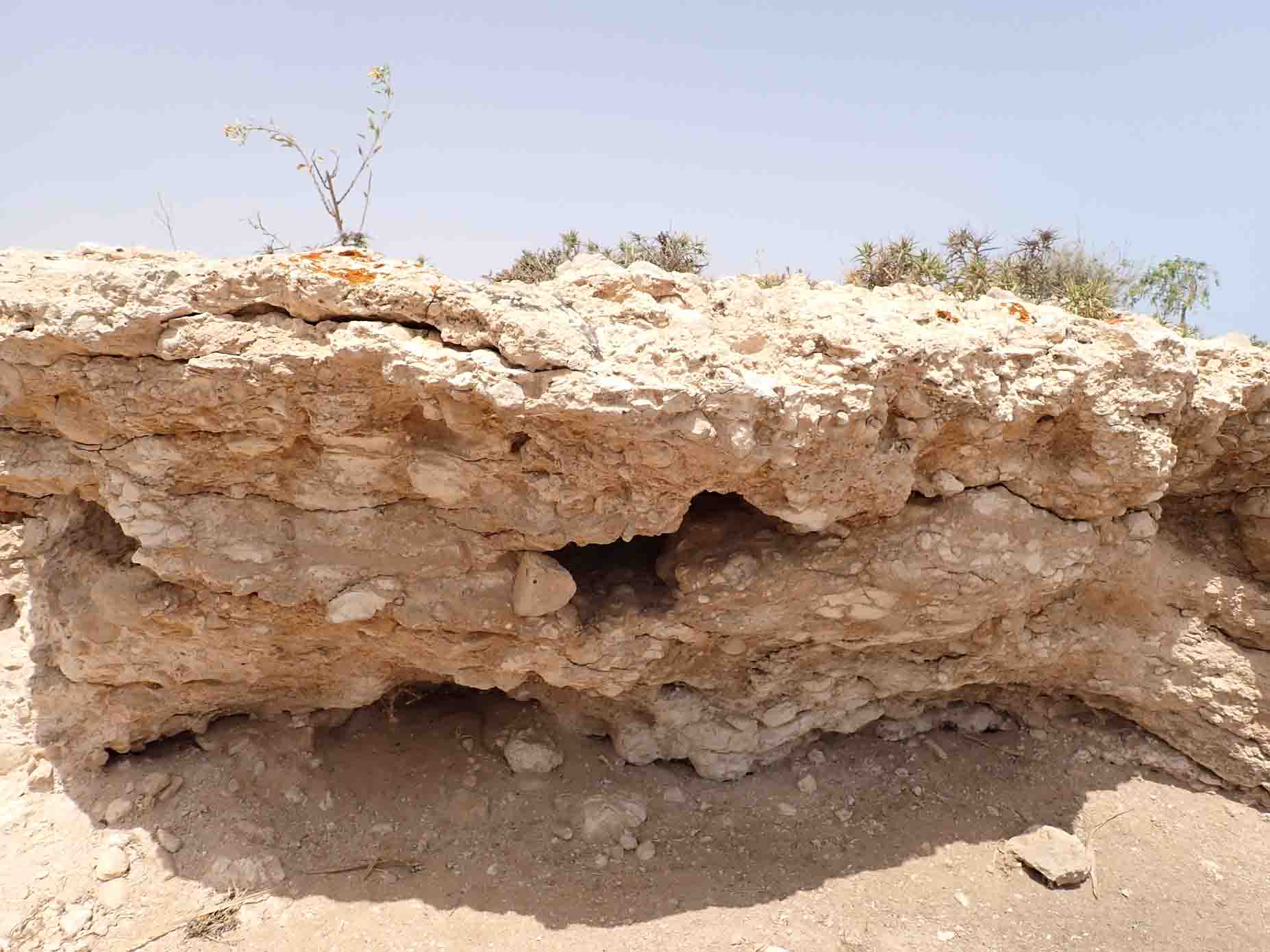
The Tertiary deposits are represented by the Al-Faidiyah Formation, which dates from the Upper Oligocene to the Lower Miocene periods. The Al-Faidiyah Formation consists of two main members:
- Limestone Member: This member represents the dominant lithological unit, which is well exposed and consists of carbonate-rich materials.
- Claystone Member: Found in some parts of the region, this unit contains fine-grained clay sediments, likely formed in a more low-energy environment compared to the limestone.
3. Quaternary Deposits
The Quaternary deposits within the wetland are more diverse and are divided into:
- Terrestrial Deposits: These are land-based sediments that likely originated from erosion and other geological processes in the surrounding region.
- Aquatic Deposits: These sediments were formed in water, influenced by the hydrological dynamics of the wetland. The composition of these deposits varies significantly depending on the depositional environment, ranging from fine silts and clays to coarser materials. Organic matter is also present in some areas, suggesting the accumulation of biological material over time.
Overview of the Geomorphological Units
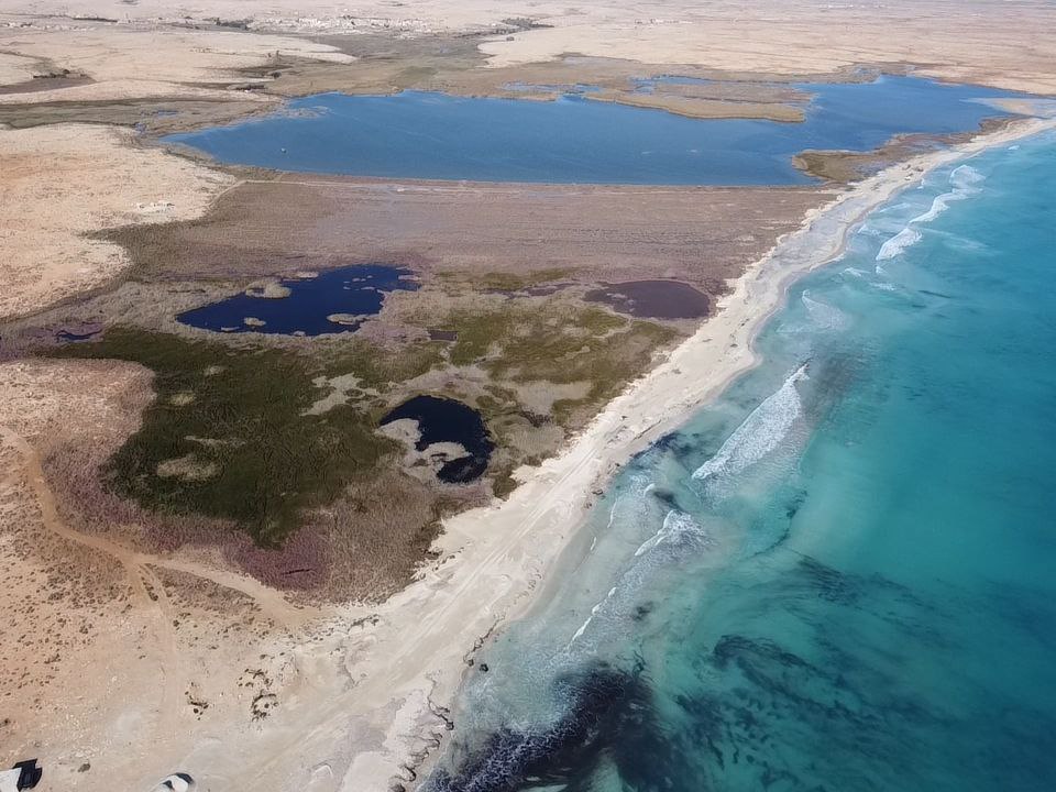
The Umm Hufayn wetland comprises twelve distinct geomorphological units, as represented in the legend. These units reflect the diverse interactions between surface water, groundwater, and sediment deposition processes across the wetland. The wetland area is shaped by both natural and seasonal processes, making it a dynamic and ecologically rich environment.
1. Rocky Hills
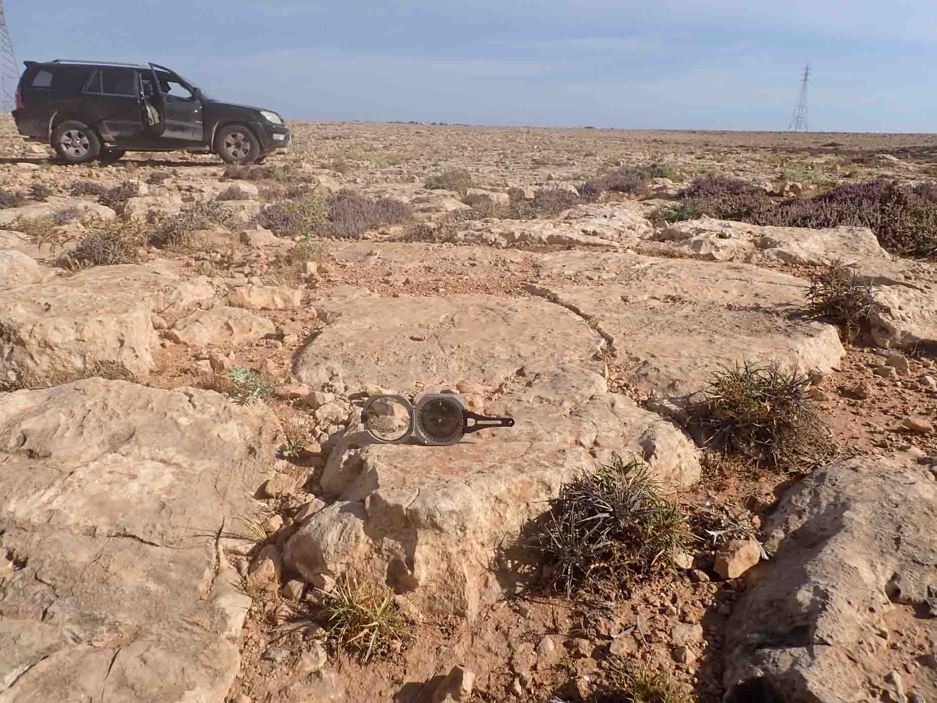
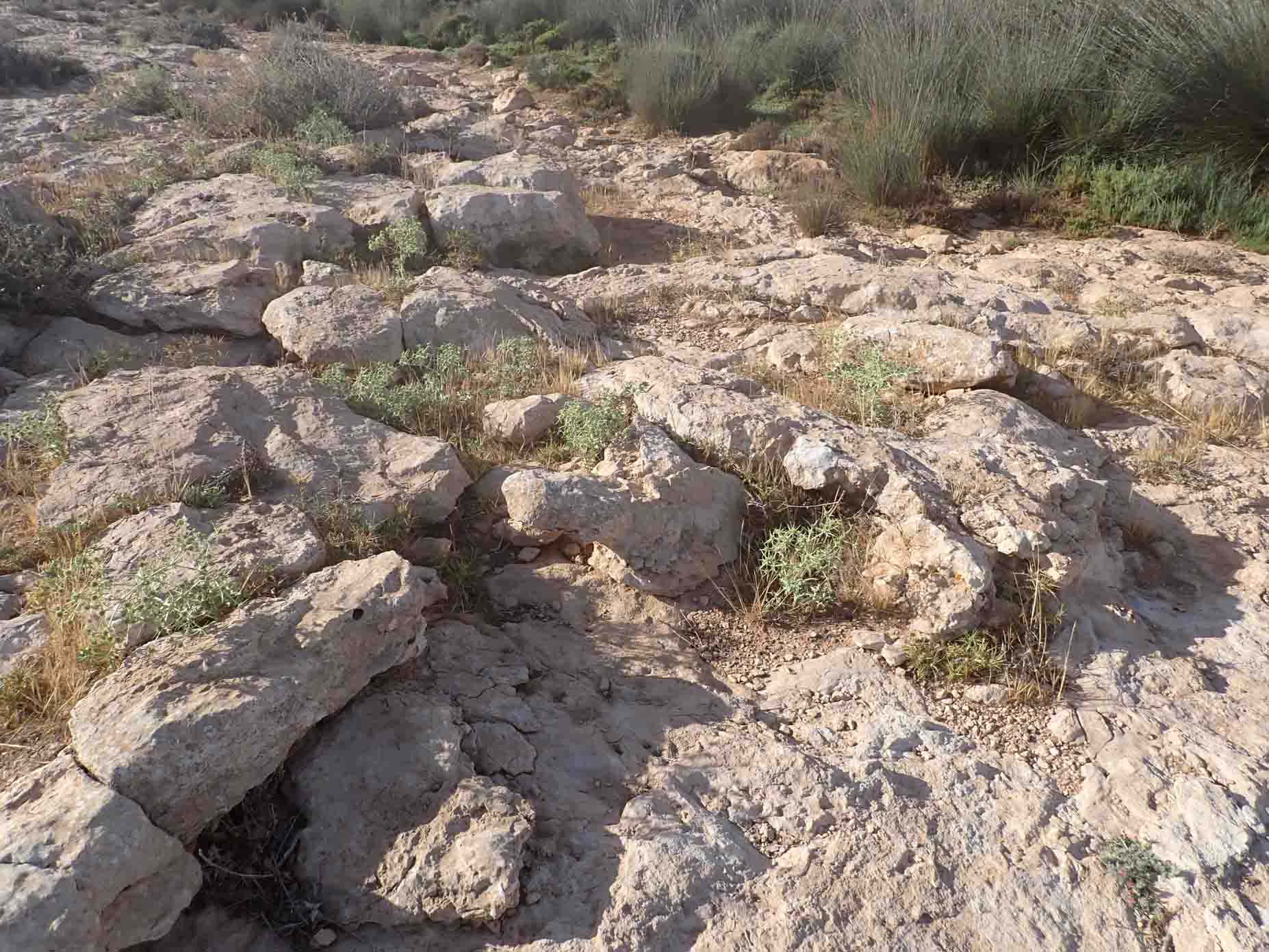
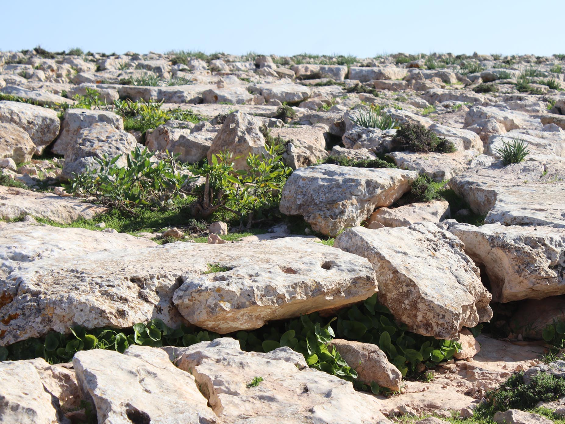
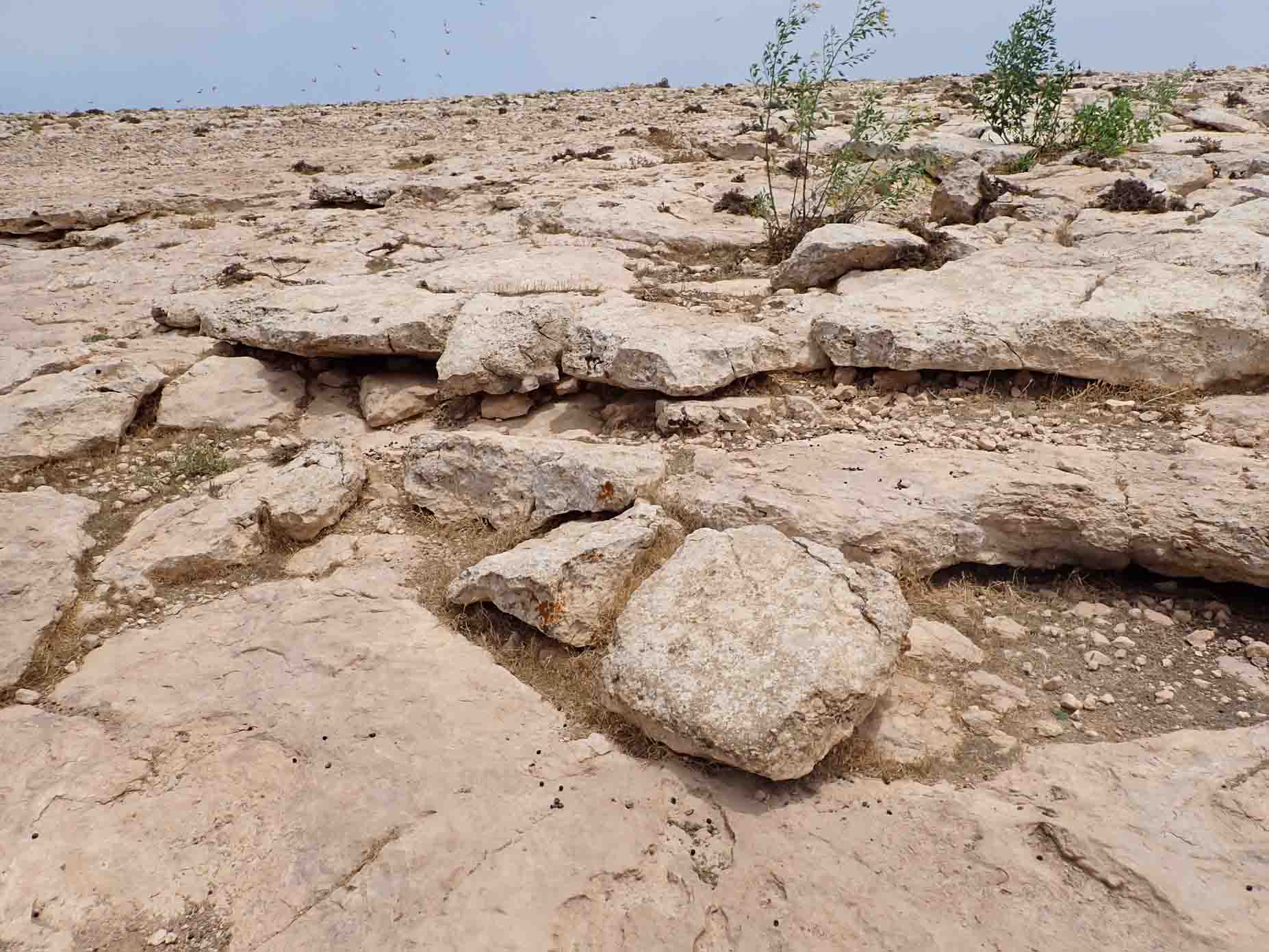
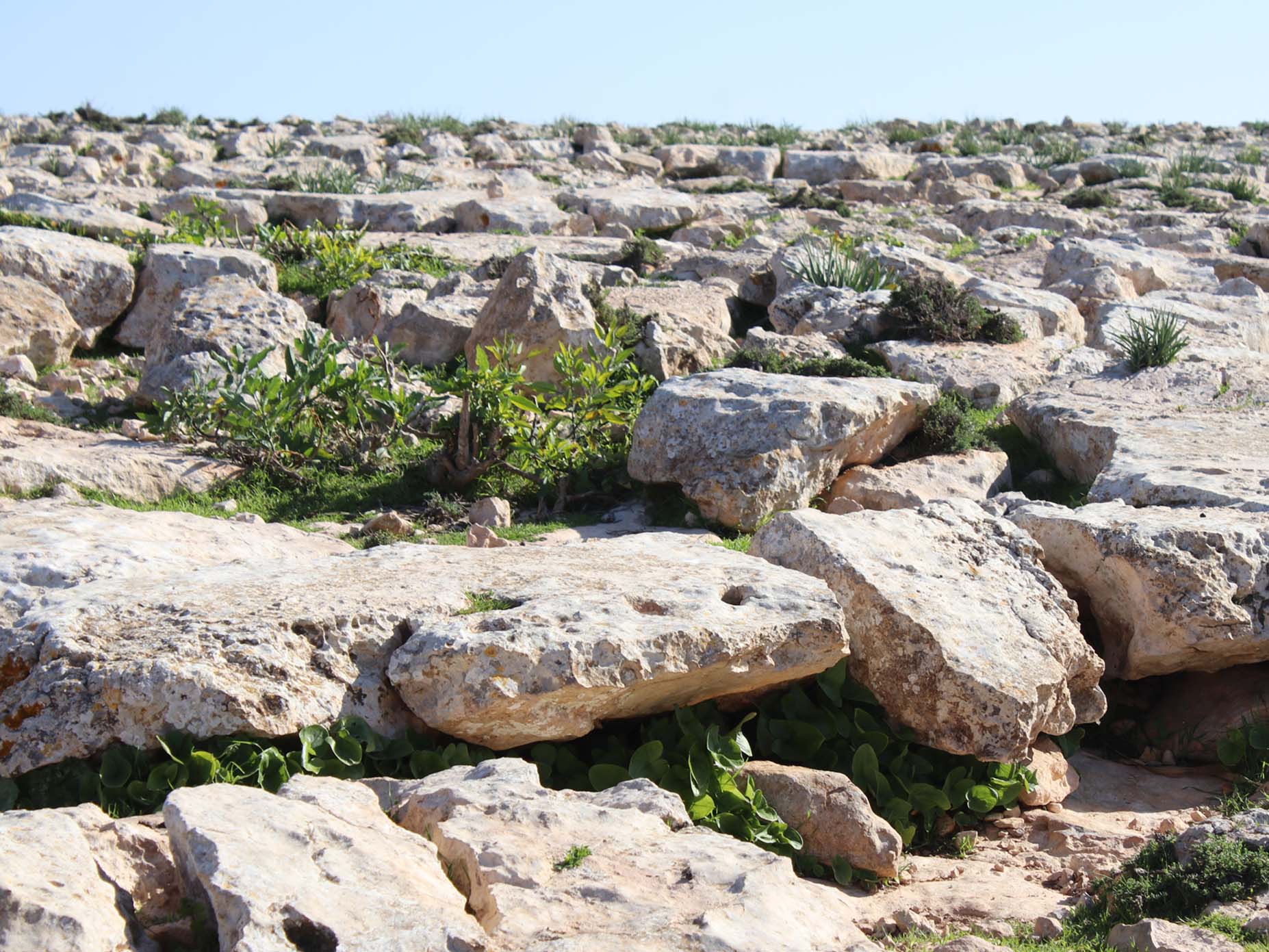
The Rocky Hills surround the wetland, forming its northern and southern boundaries. These plateaus consist of highly resistant rock formations from the Al-Faidiyah Formation (Oligocene-Miocene), mainly composed of limestone and dolomite. This geomorphological unit is key in preventing erosion and shaping the overall topography of the wetland.
- Elevation: The hills range in height from 3 to 18 meters above sea level, with the highest elevations found in the west, southwest, and northwest.
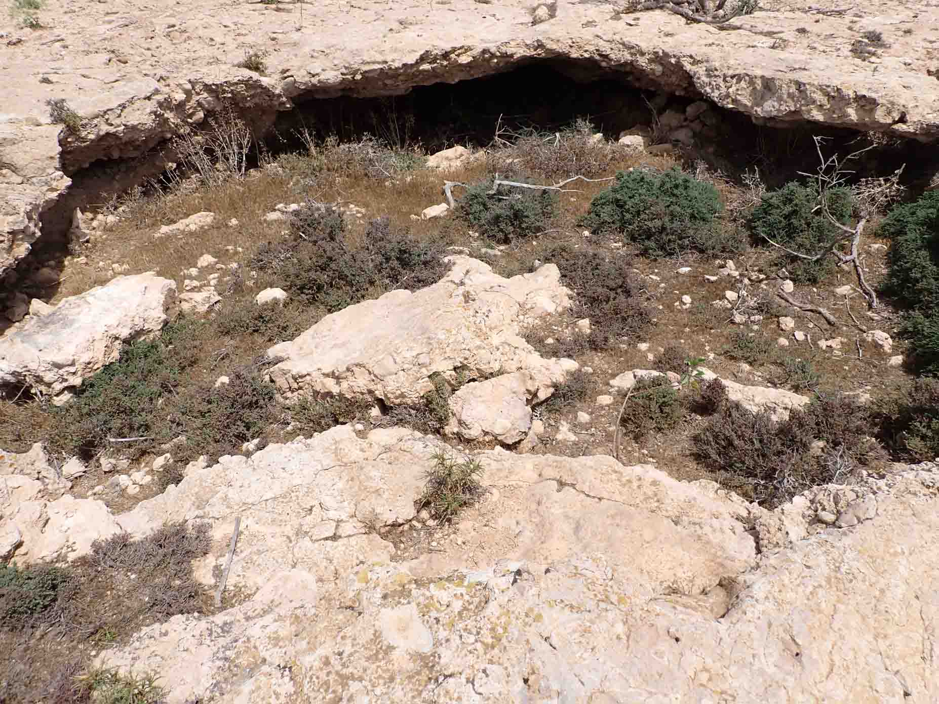
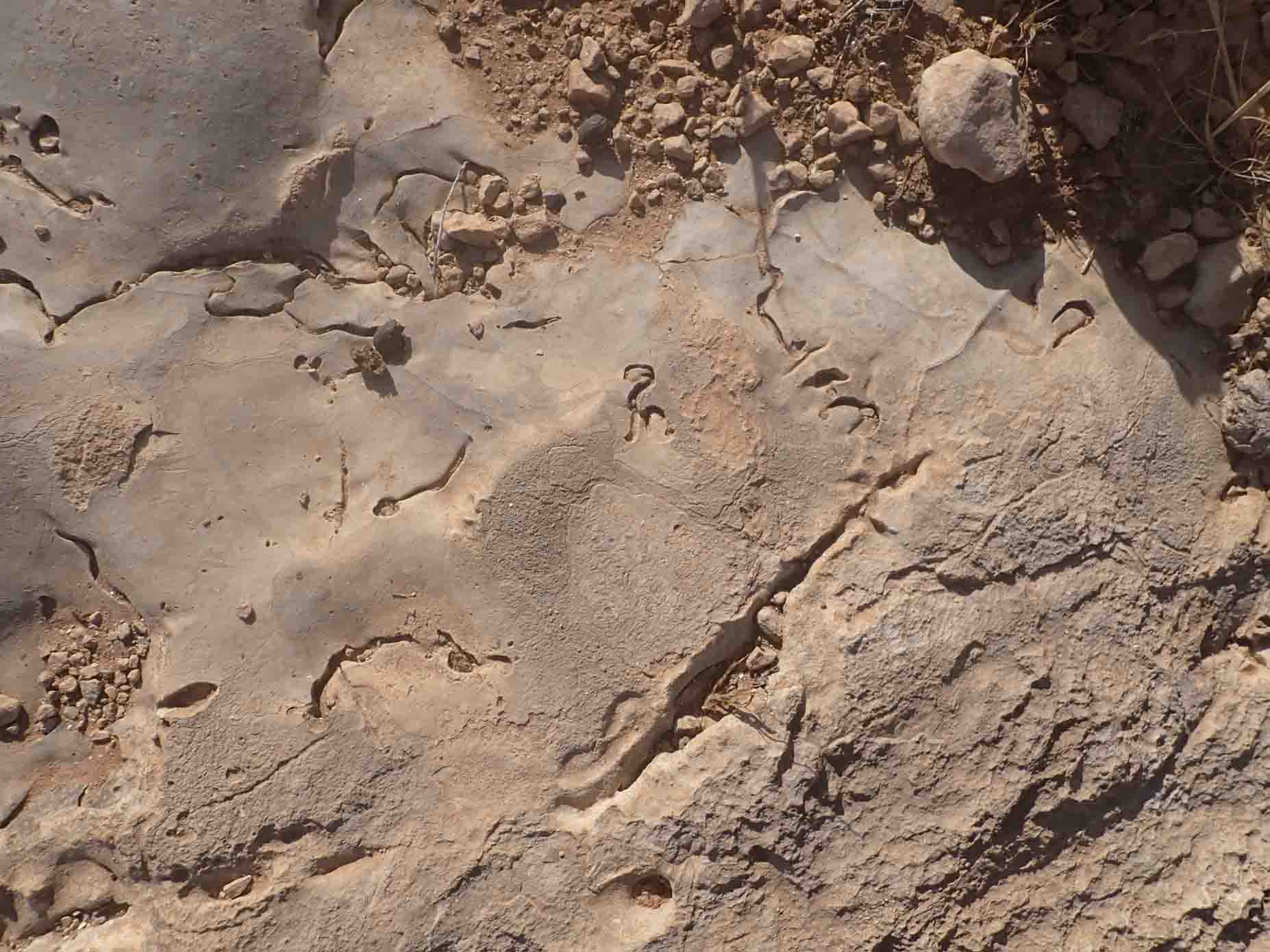
- Karst Features: The limestone shows evidence of extensive weathering and erosion, including numerous fractures, cracks, and karstic voids.
- Soil Cover: The plateaus have a thin soil layer (less than 50 cm) consisting of light brown calcareous soils with rock fragments, pebbles, and gravel.
2. Umm Hufayn Lake
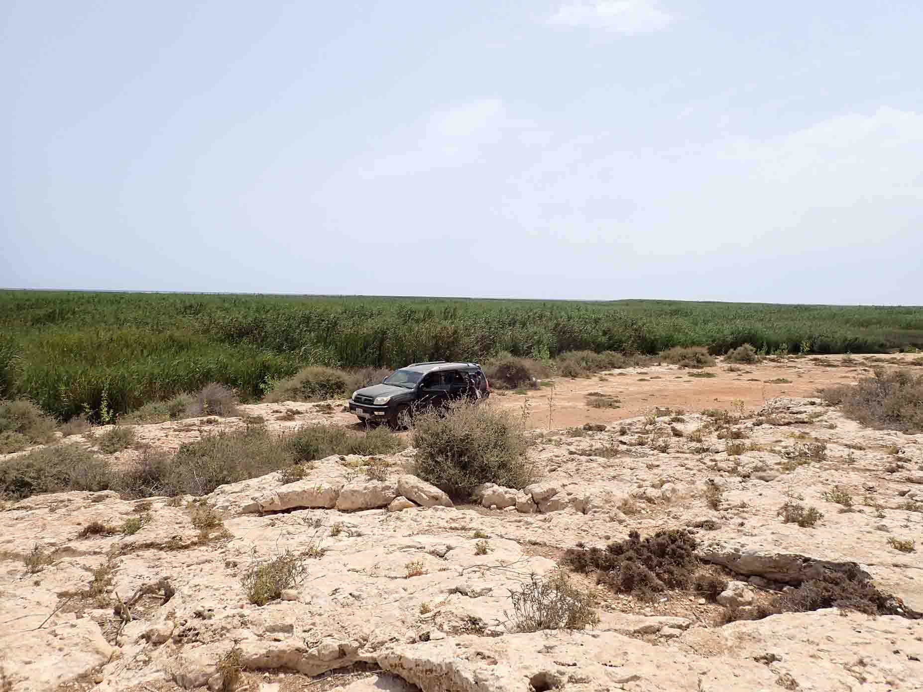
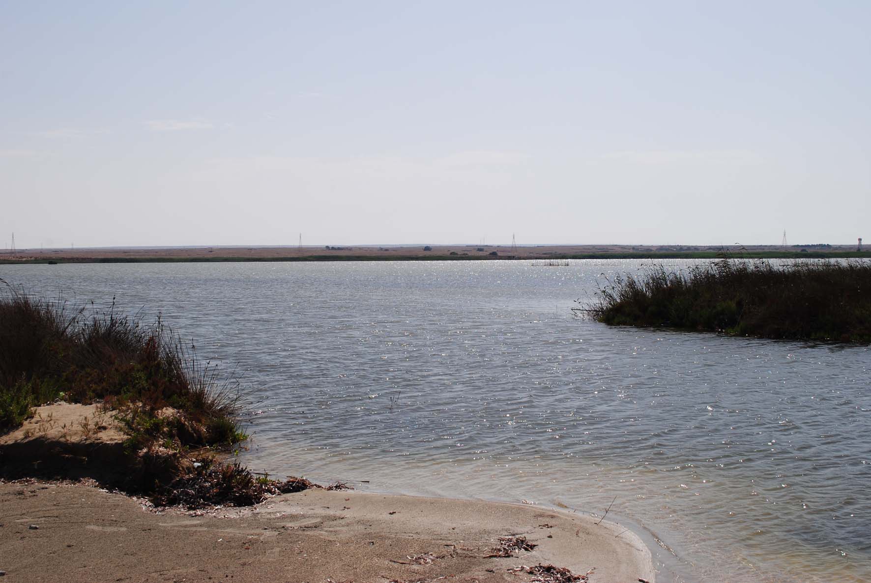
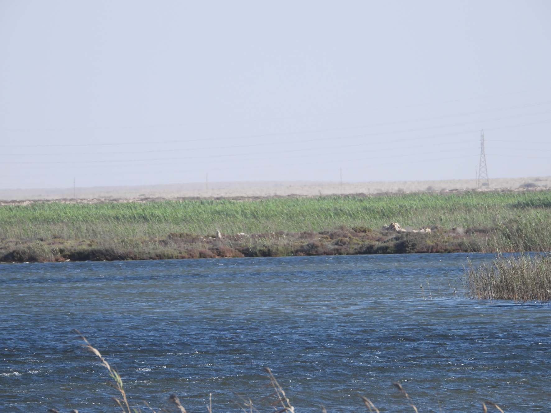
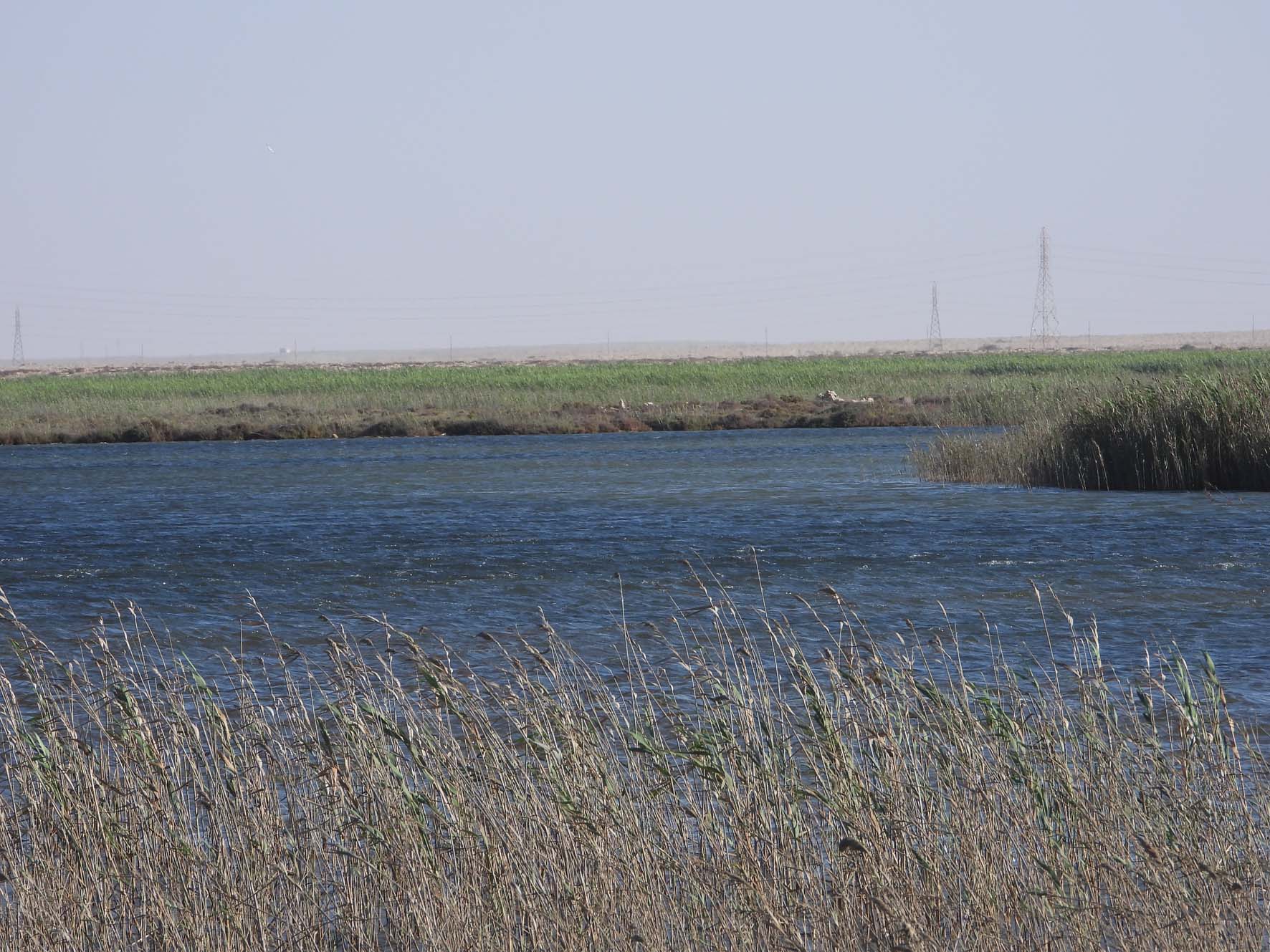
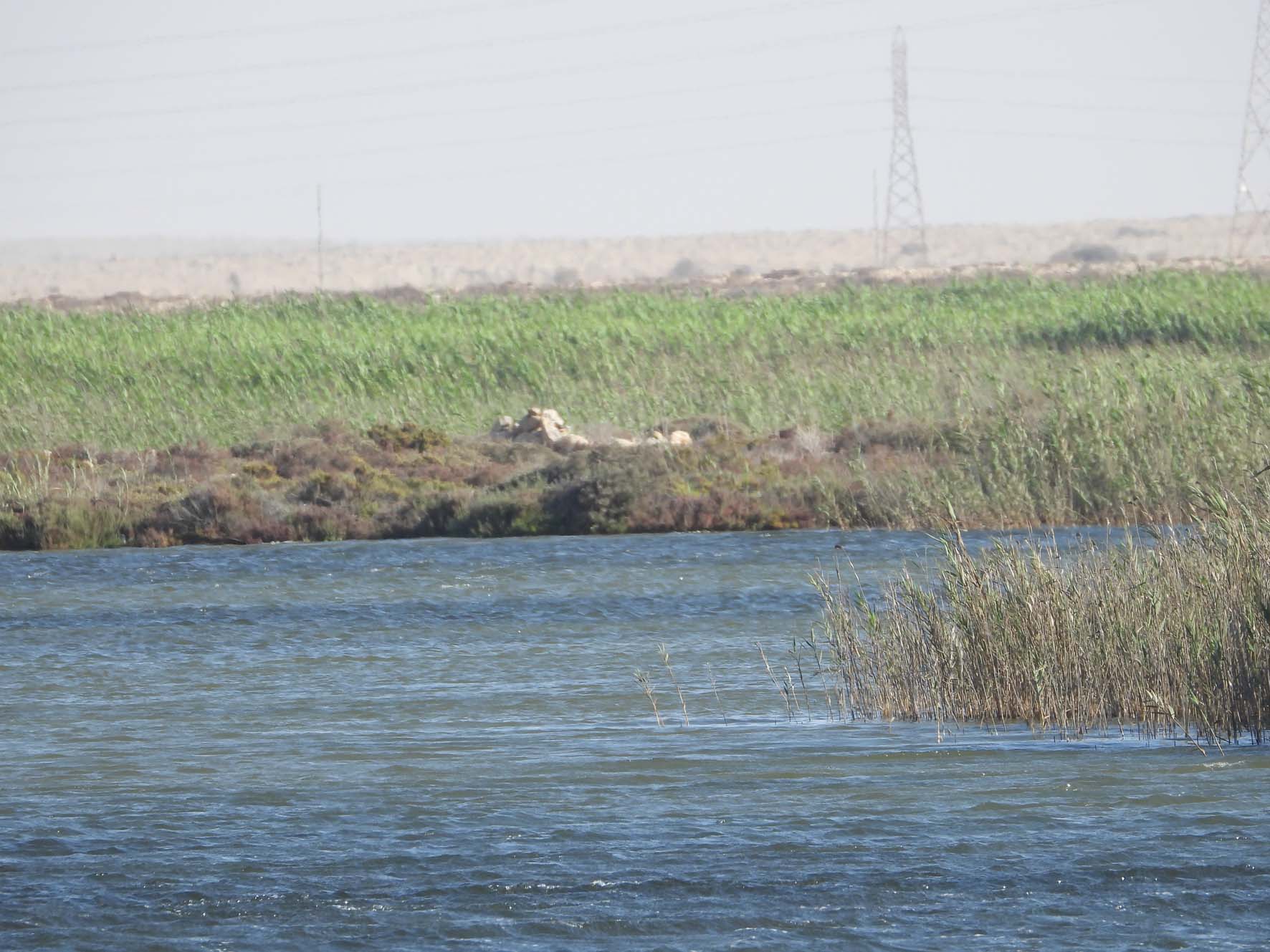
Umm Hufayn Lake is the central feature of the wetland, covering approximately 56.5 hectares. The lake is fed by seasonal runoff from surrounding wadis and by groundwater inflows. It serves as the focal point for the entire wetland's hydrology.
- Depth: The lake varies in depth from -4 meters to +4 meters relative to sea level.
- Sediment Composition: The lakebed consists primarily of fine sand, silt, and clay, mixed with organic matter and mollusk shells.
3. Azla Island
Azla Island is located in the northern section of Umm Hufayn Lake. It is a small limestone island formed by resistant rocks of the Al-Faidiyah Formation.
- Elevation: The island stands about 3 meters above sea level.
- Geology: Composed of solid limestone, this island is largely barren due to wind and salt exposure.
- Vegetation: Minimal vegetation exists on the island, primarily small shrubs and salt-tolerant plants.
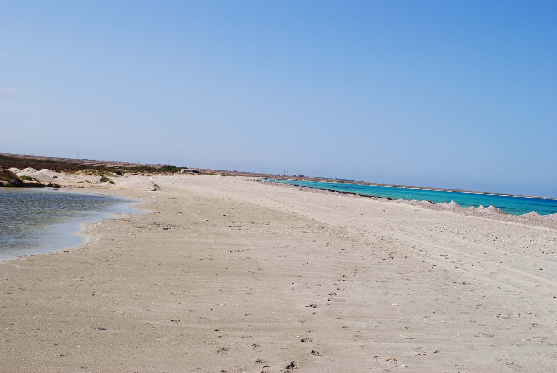
4. Sand Beach
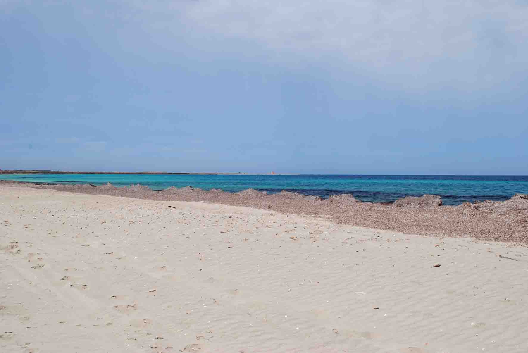
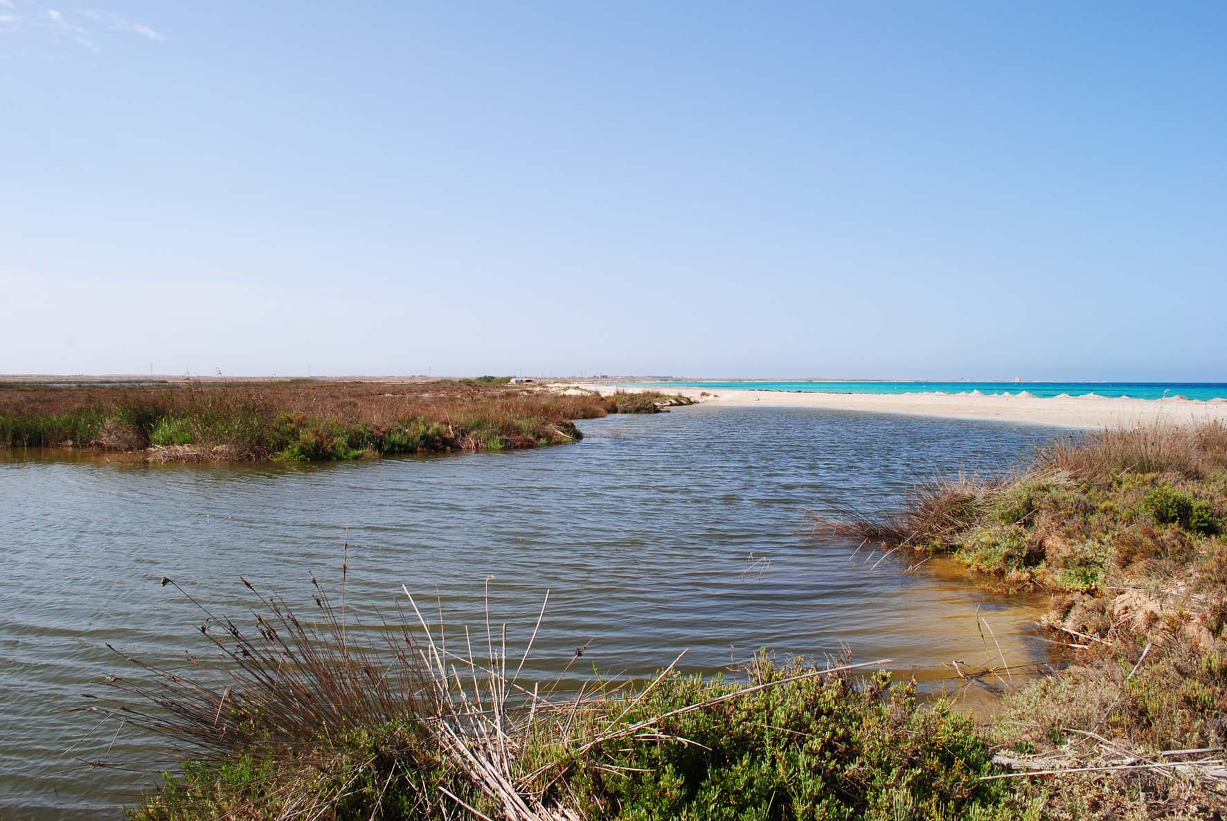
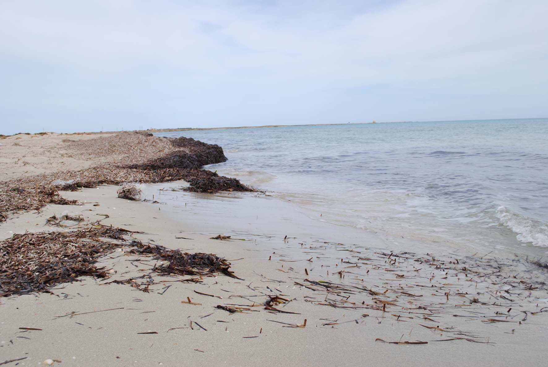
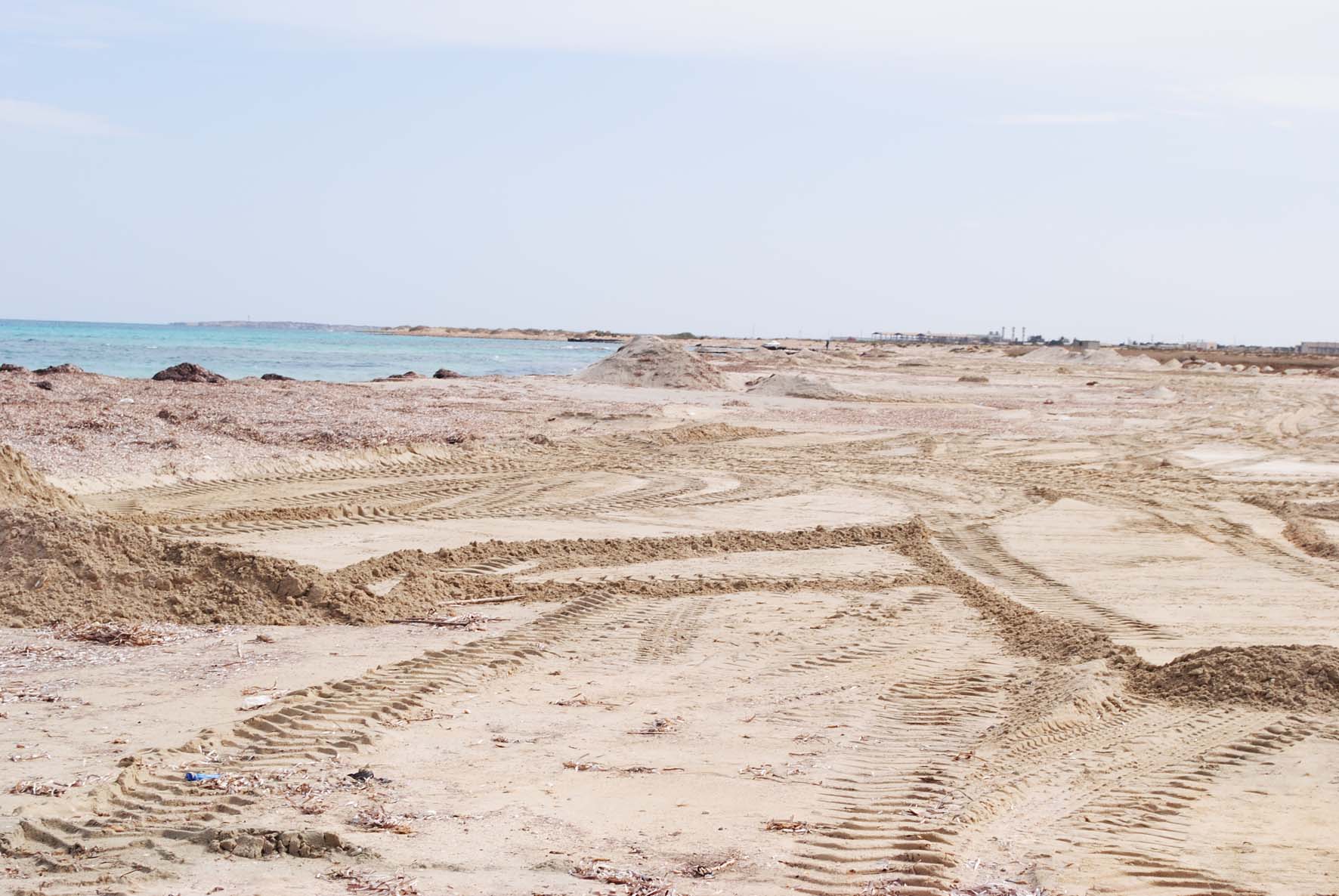
The sand beach runs along the eastern side of the wetland, acting as a natural barrier between Umm Hufayn Lake and the Mediterranean Sea. This geomorphological unit is shaped by wave action, wind, and sediment deposition from nearby wadis.
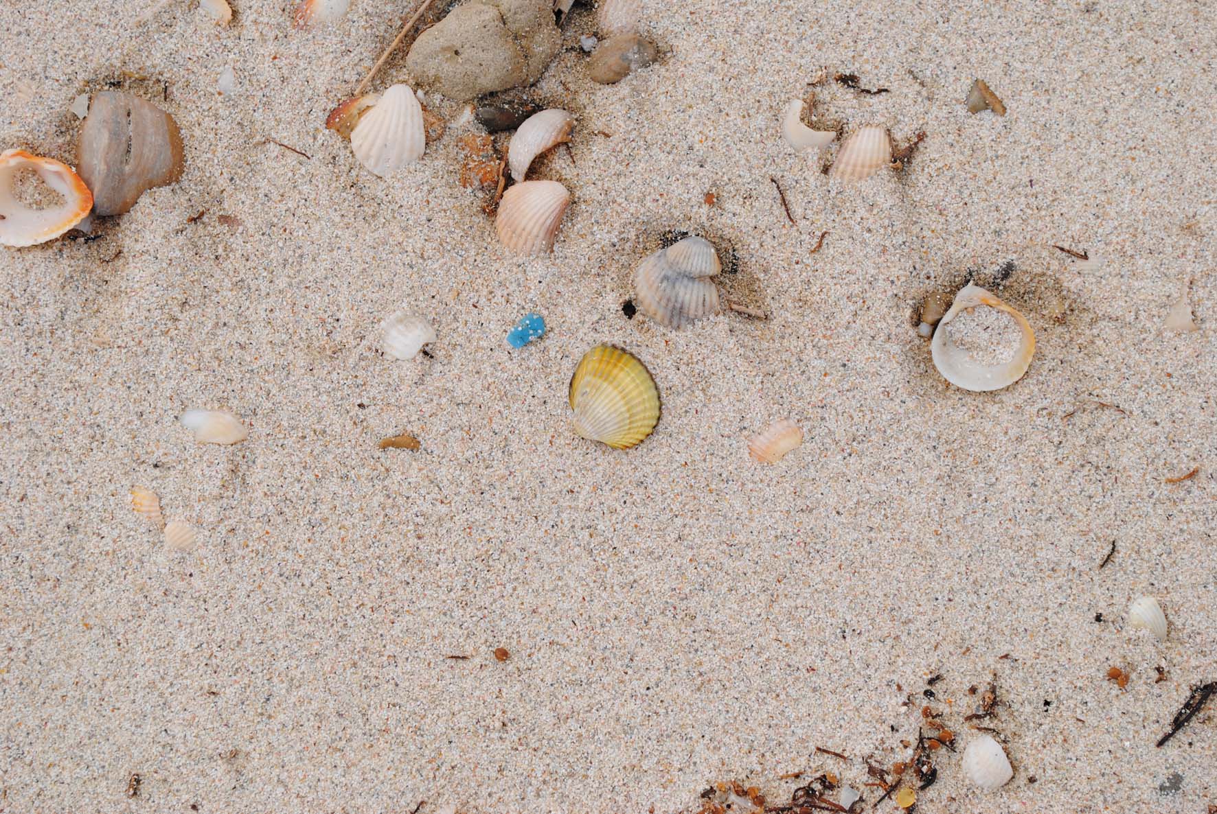
- Sediment Composition: Primarily composed of fine-grained sands, with a mix of carbonate fragments, gypsum, salt, and broken mollusk shells.
- Processes: The beach has been shaped by coastal processes such as wave action, seasonal runoff from wadis, and wind-driven sediment transport.
5. Sea Barrier
The Sea Barrier separates Umm Hufayn Lake from the Mediterranean Sea and prevents seawater from directly flooding the lake except during extreme weather events. This natural sand barrier is crucial in maintaining the lake’s water balance.
- Height: 1 to 1.5 meters above surrounding geomorphological units.
- Sediment Composition: Composed of coastal sands mixed with silts, clays, and organic matter from surrounding wetlands and sea deposits.
- Processes: Breaching of the barrier can occur during storm surges or high tides, causing temporary flooding of Umm Hufayn Lake.
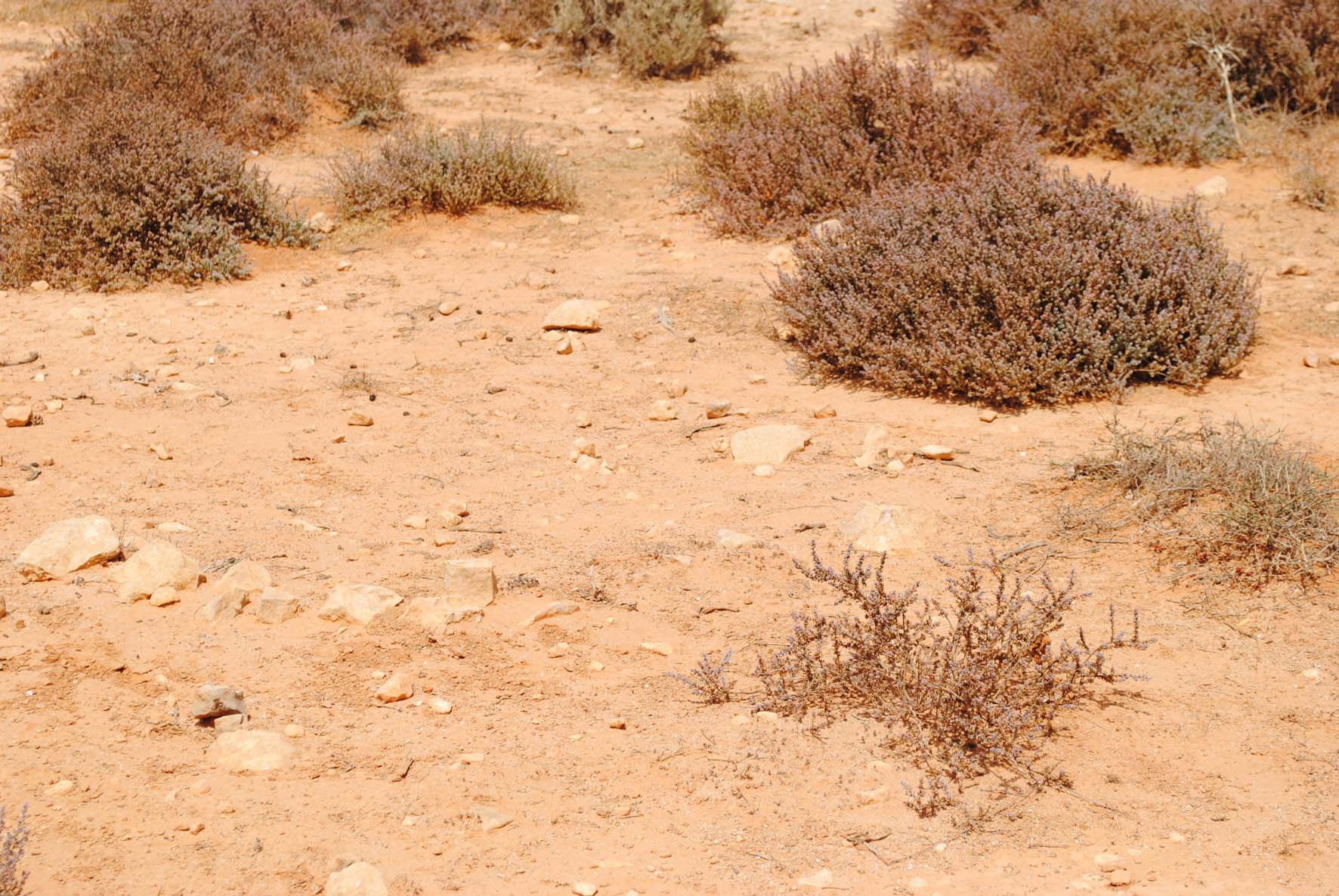
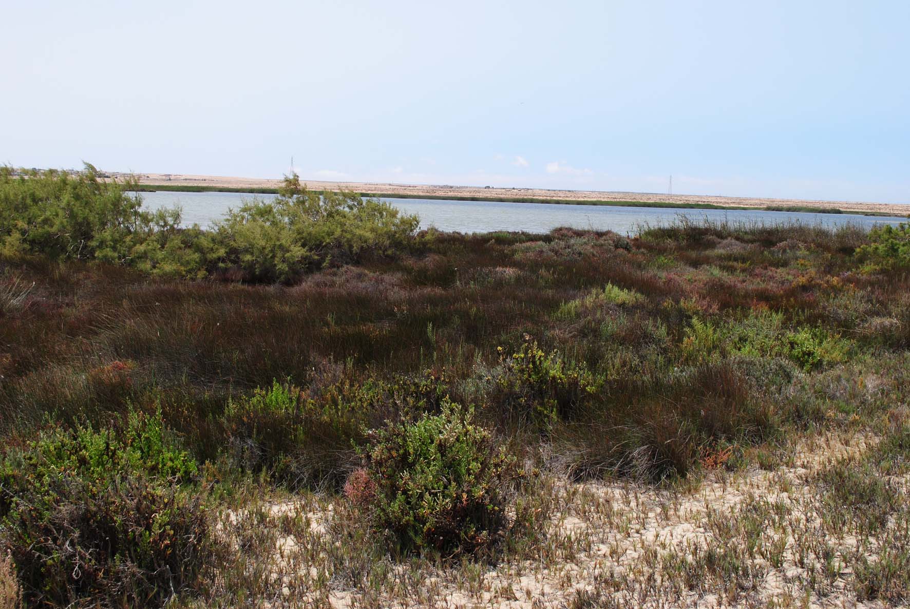
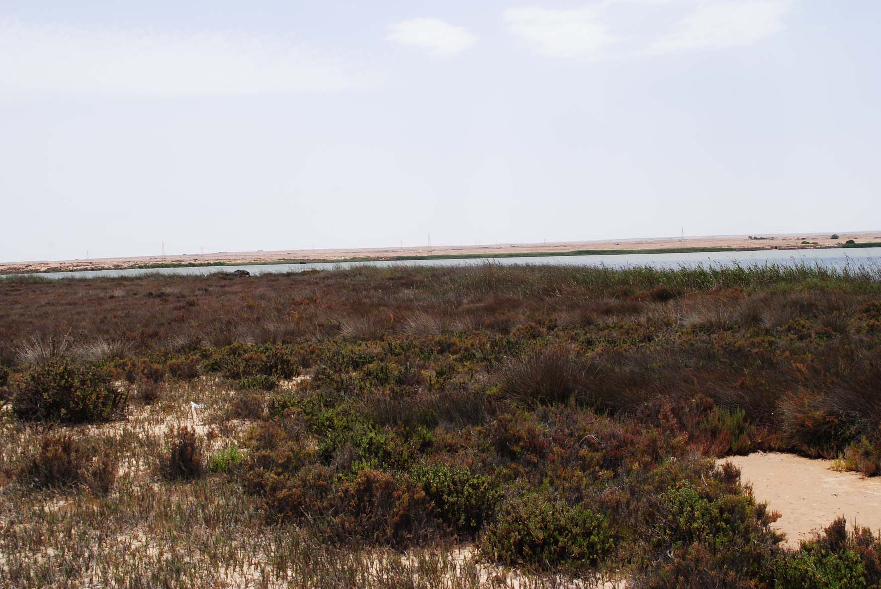
6. Wetland Bank (Shrub Swamps)
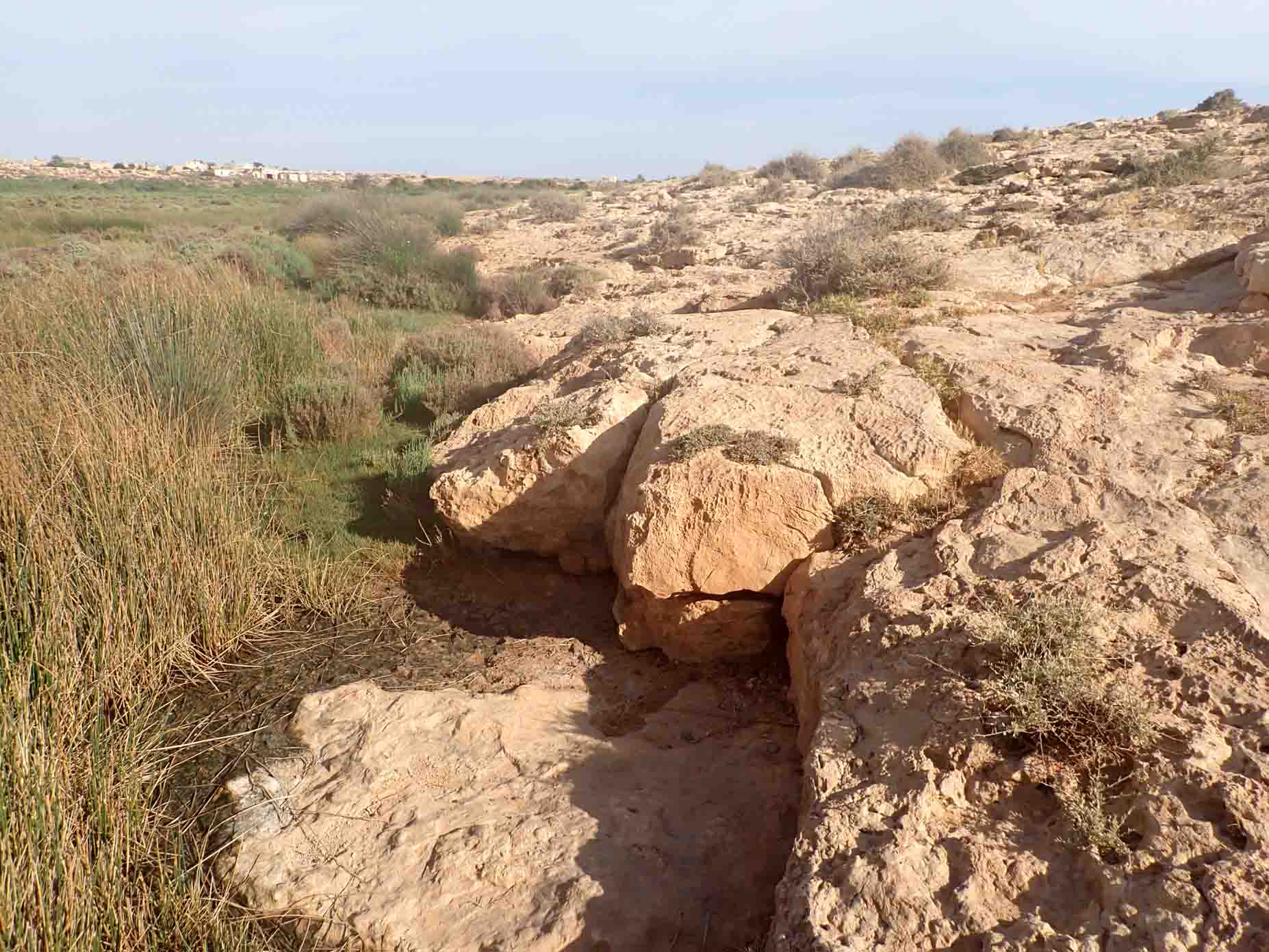
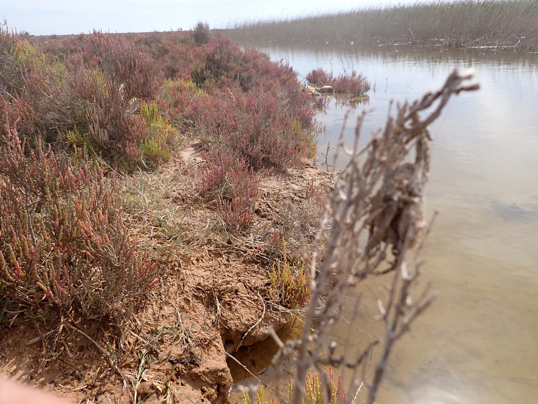
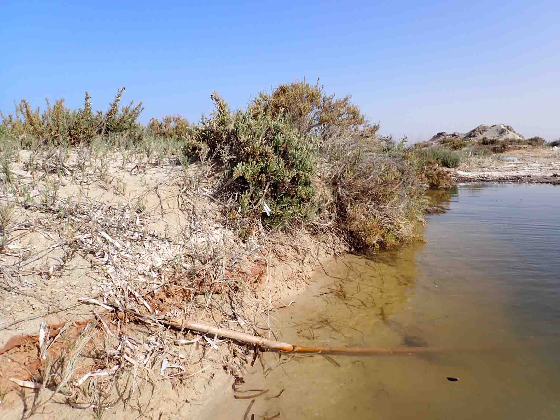
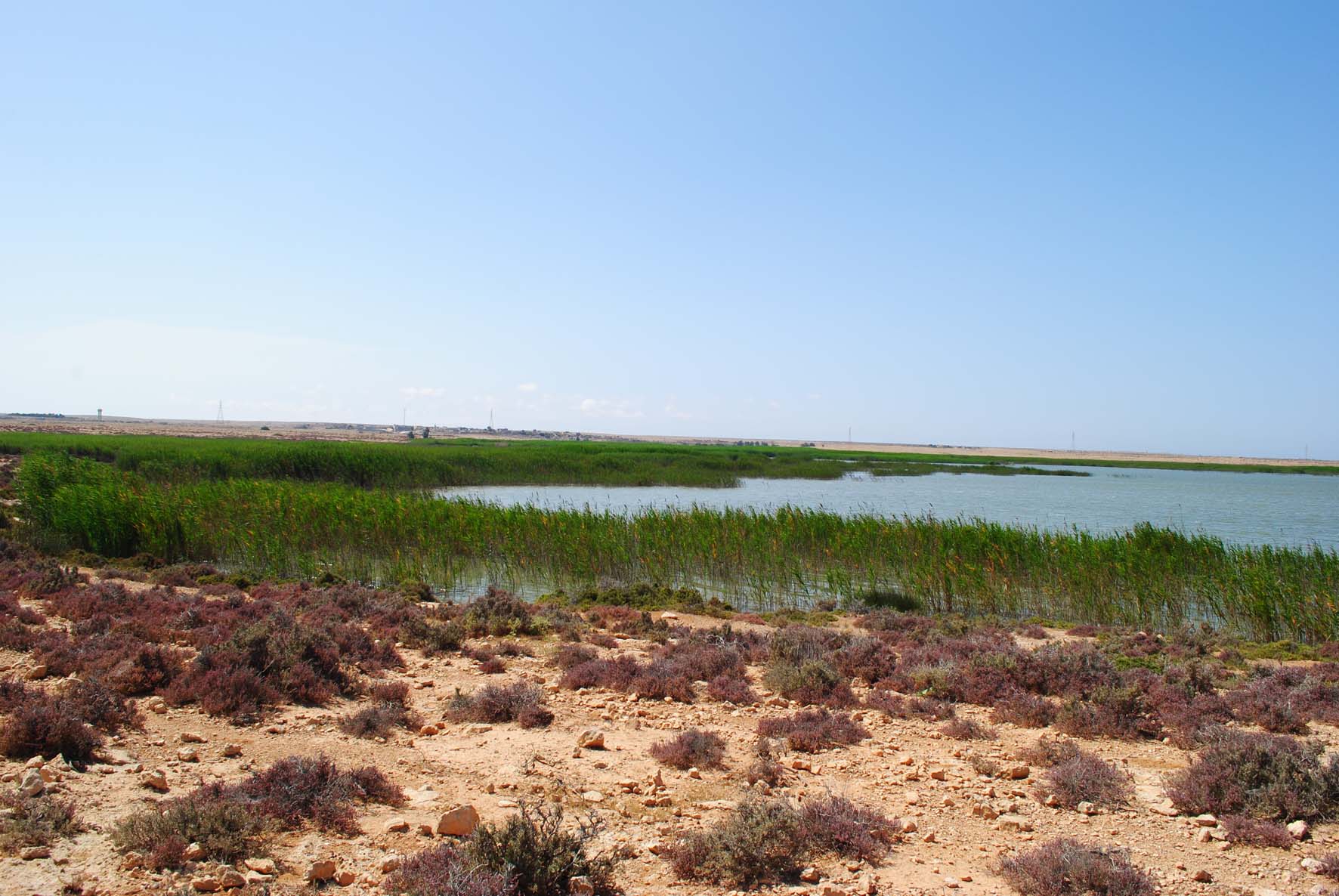
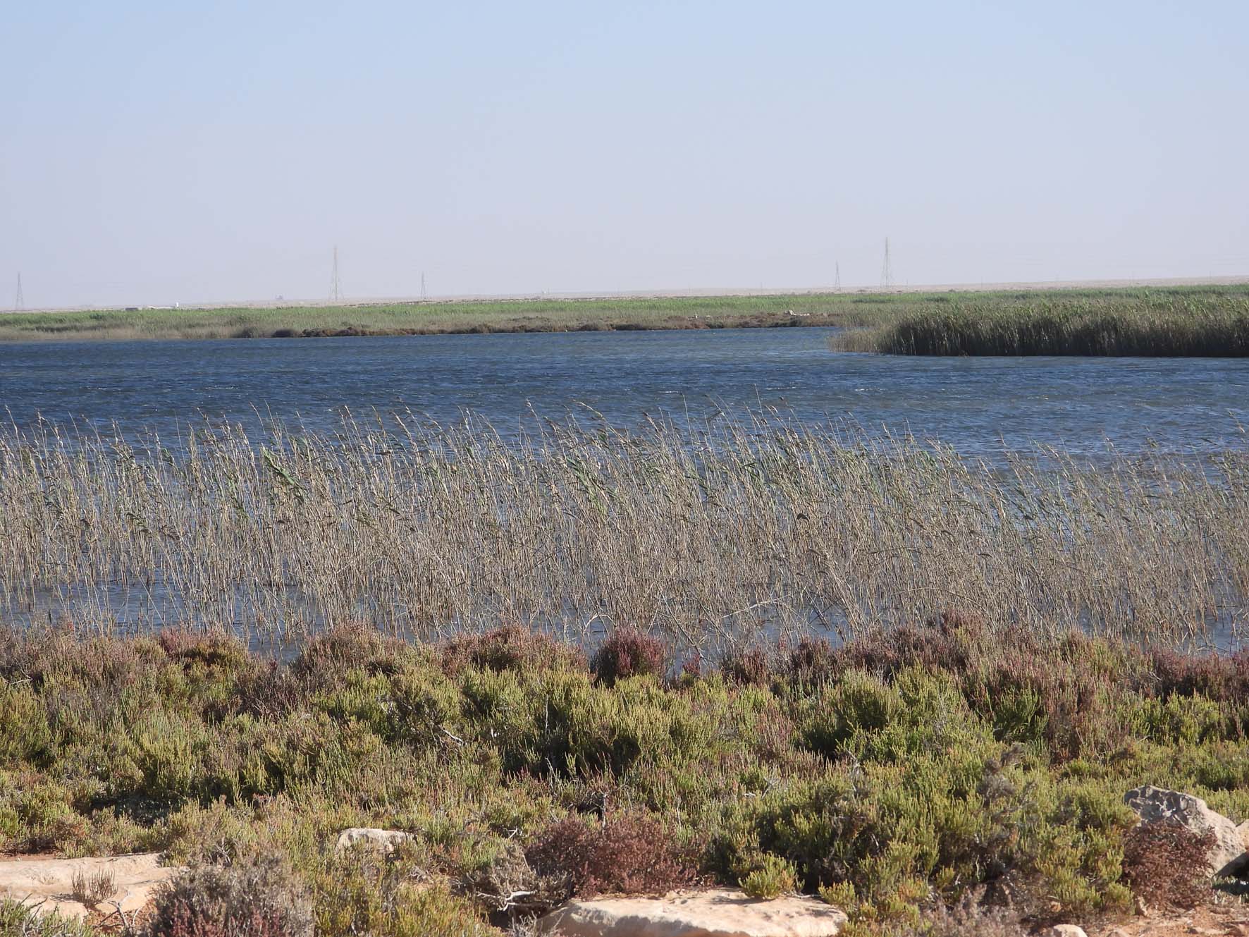
Surrounding the wetland, these banks are characterized by dense shrub vegetation, supported by groundwater seepage and sediment accumulation from seasonal floods. These banks form an essential buffer between the lake and the surrounding rocky hills.
- Elevation: Ranges from -1 to +4 meters above sea level.
- Sediments: Composed of silt and clay, enriched with organic material from decaying plant matter.
7. Main Wadi Outlet
The main wadi outlets are where Wadi Butamim and Wadi Al-Sid converge, feeding water and sediments into the wetland during seasonal floods. These areas play a crucial role in sustaining the wetland's hydrology.
- Elevation: Between 2 and 8 meters above sea level.
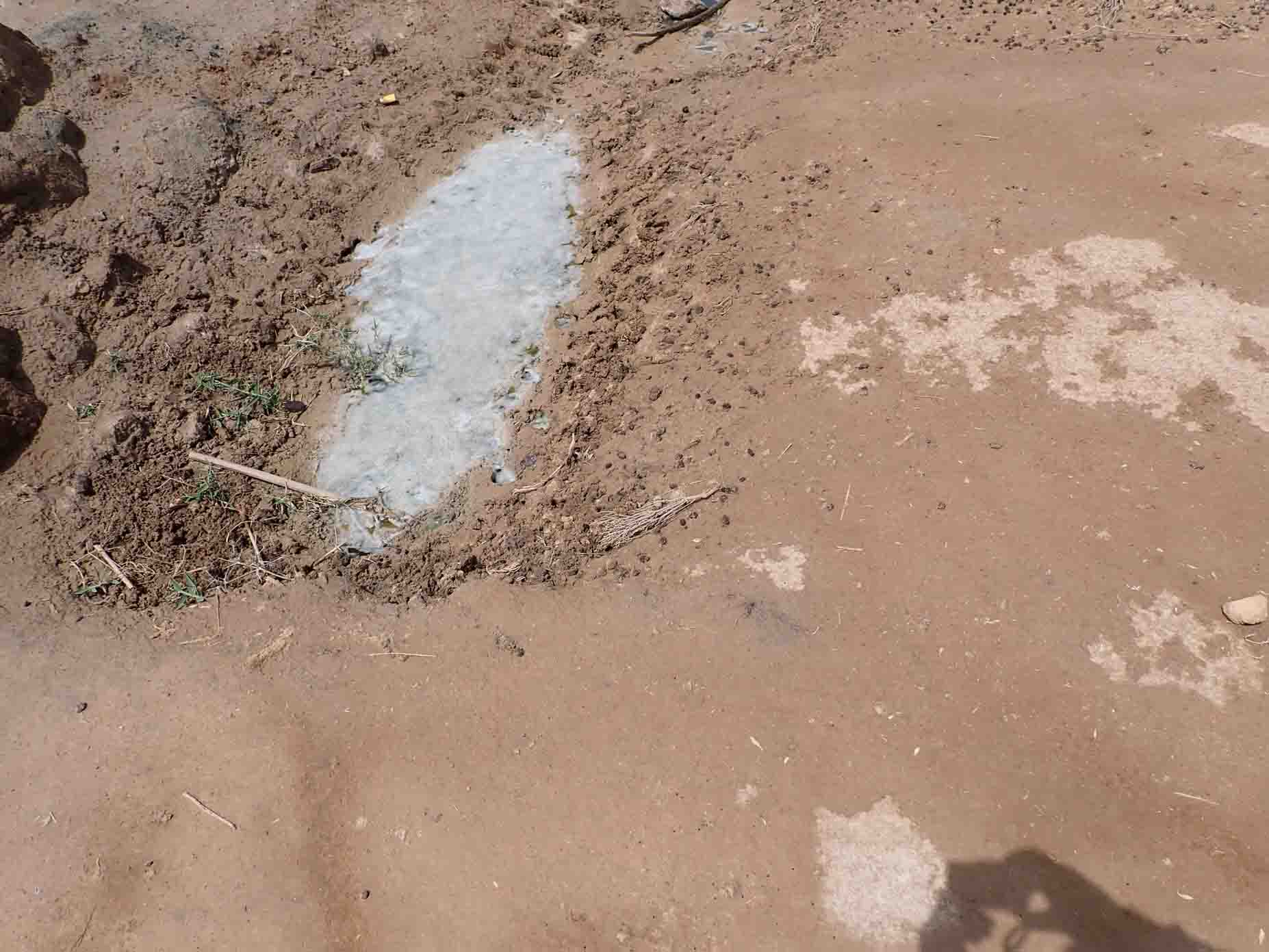
- Hydrology: Semi-saline ponds form in these areas, supported by groundwater seepage and surface runoff.
- Sediment Composition: Red clay and silty deposits predominate near the wadi outlets, transitioning to lighter clays towards the wetland.
8. Small Wadi Watershed
The Small Wadi Watersheds cut through the rocky plateaus, bringing seasonal floodwaters and sediments into the wetland. These small channels contribute to soil deposition and support diverse vegetation due to the shallow groundwater.
- Elevation: Varies, with sediments accumulating at the base of the small wadis.
- Sediment Composition: Floodplain deposits from these wadis contain a mix of light brown soils, gravel, and boulders.
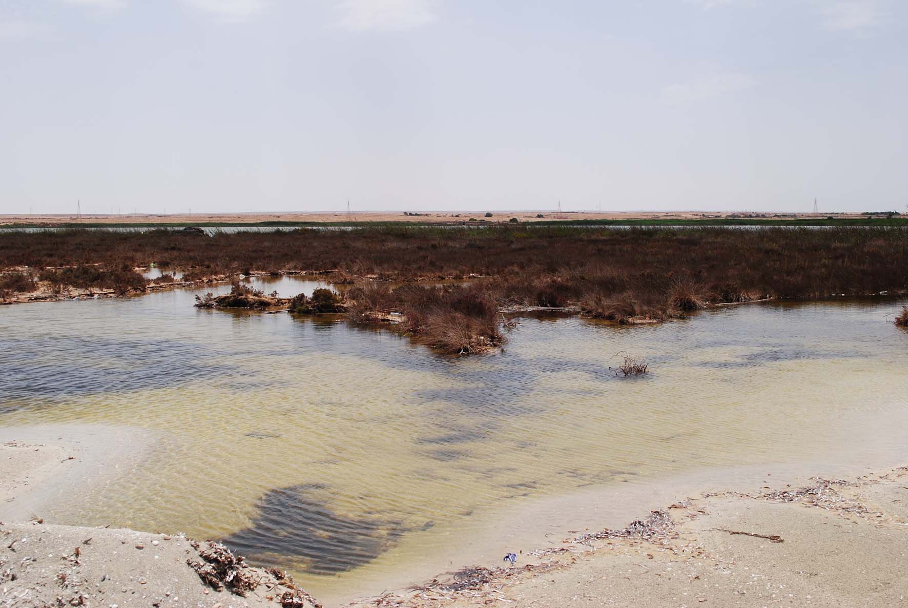
9. Brackish Water Ponds
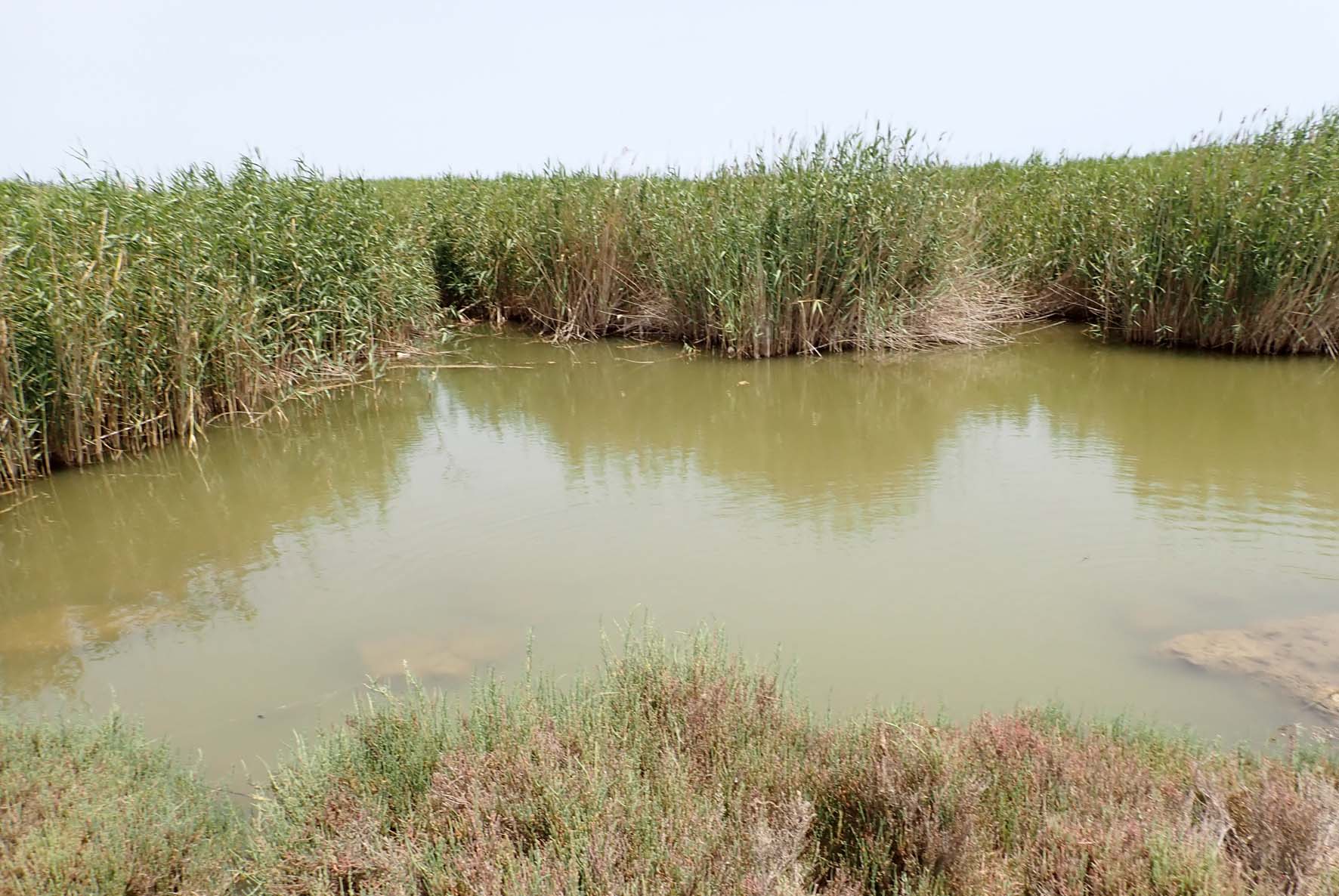
Brackish Water Ponds are formed by groundwater seepage and can be found in low-lying areas near the wetland's edges. These ponds are semi-saline and form irregular shapes.
- Hydrology: These ponds are fed by groundwater seepage, with salinity varying depending on the location.
- Sediment Composition: Thin layers of silty clays with moderate salinity.
10. Burdi Swamps
The Burdi Swamps are scattered throughout the wetland, forming due to groundwater seepage. These swamps are crucial for the wetland's hydrology and contribute to the formation of seasonal brackish ponds.
- Hydrology: Groundwater seepage supports these swamps, which form irregular shapes and are semi-saline.
- Sediment Composition: Thin silty clays with varying degrees of salinity.
11. Saline Water Ponds
The Saline Water Ponds are found throughout the wetland, formed by groundwater seepage and varying in salinity. These ponds are vital for the wetland's ecology, providing habitats for salt-tolerant species.
- Hydrology: These ponds are intermittently connected to the sea during tidal events, leading to fluctuations in salinity.
- Sediment Composition: Saline silts and clays with high concentrations of salts.
12.Rock Hills Plain
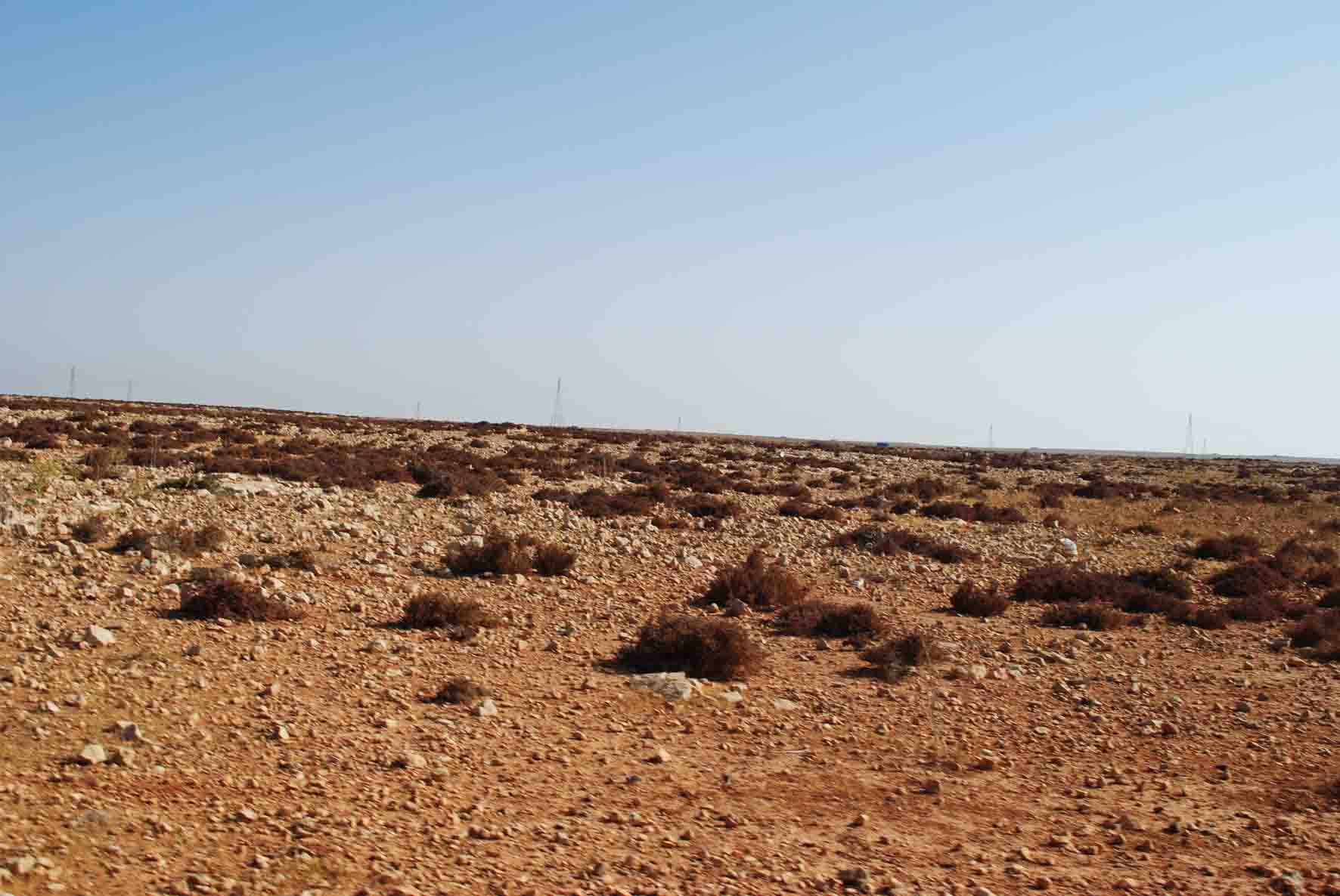
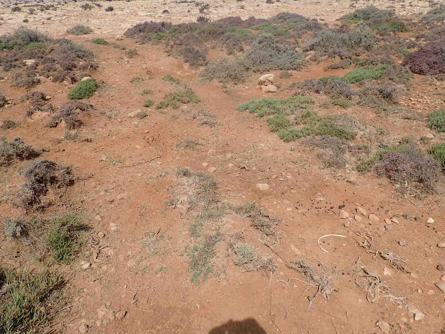
The Rock Hills Plain forms the elevated plateaus within the Rocky Hills, characterized by its reddish-brown, light soil and gently undulating terrain. This plain, situated within the Al-Faidiyah Formation (Oligocene-Miocene), is primarily composed of limestone and dolomite, which offer a stable structure and natural erosion resistance. Despite the semiarid climate, rainfed agriculture is practiced here, taking advantage of the seasonal rainfall and the soil's capacity to retain moisture for limited periods.
- Elevation: The plateaus range from 3 to 18 meters above sea level, creating a level but slightly varied topography.
- Soil Composition: The soil is a thin layer of reddish-brown sandy loam mixed with rock fragments, ideal for rainfed crops adapted to the semiarid conditions.
- Karst Features: Extensive fractures, cracks, and karstic voids due to weathering enhance the plain’s capacity for groundwater recharge and seasonal water retention, benefiting agricultural practices in this dry environment.
- Vegetation: Limited vegetation, consisting of drought-resistant shrubs and crops suited to rainfed farming.
Salinity Distribution Overview
Water salinity in the wetland ranges from 3.5 g/l to over 12.5 g/l, with the highest salinity concentrations observed in coastal and central wetland zones. Key patterns include:
- High Salinity Zones (>12.5 g/l):
- Predominantly located near the coastal areas, with darker red shades, indicating severe saline intrusion.
- Likely associated with geomorphological features such as sea barriers, sand beaches, and beach swamps, where interactions between seawater and groundwater exacerbate salinity levels.
- Moderate Salinity Zones (6.5-10 g/l):
- Found across various portions of the wetland and surrounding areas, likely influenced by main wadi outlets and wetland bank (shrub swamps). These zones may receive periodic freshwater inputs from seasonal wadi flows, moderating the overall salinity.
- Low Salinity Zones (<6.5 g/l):
- Concentrated further inland, particularly in areas represented by rocky hills plains and small wadi watersheds, where there is limited interaction with coastal processes. These areas may be less affected by saline intrusion, with potential for freshwater retention.
Geomorphological Unit Influence on Salinity:
- Umm Hufayn Lake : The central feature of the wetland, the lake is positioned near moderate to high salinity zones. Given its proximity to the main wadi outlet and wetland bank, it likely experiences a mix of freshwater inflows from the wadi and saline water from adjacent swamps and ponds. Continuous monitoring of water quality here is crucial.
- Main Wadi Outlet and Wadi Watershed : These units play a significant role in transporting seasonal runoff and freshwater into the wetland, which can temporarily dilute salinity levels in areas closer to the small wadi watershed. However, proximity to saline water ponds may contribute to periodic spikes in salinity.
- Sand Beach and Sea Barrier: These geomorphological features along the coastline act as natural buffers, but also contribute to saline intrusion into the wetland.
- Swamps and Ponds : The presence of brackish and saline water ponds in and around the wetland bank indicates zones of stagnant water with high evaporation rates, further concentrating salts. These areas are highly vulnerable to salinity spikes during dry seasons.
Note: The salinity shown is an average of annual measurements. It varies throughout the year due to the connection with seawater and the input of surface water from seasonal wadis.
Water Depth Distribution Overview
Water depth in the Umm Hufayn wetland ranges from 0 to over 2.5 meters, with the deepest areas observed in the central and northern zones of the wetland. Key patterns include:
- Deep Water Zones (>2.5 meters):
- Primarily concentrated in the northern-central areas of the wetland, indicated by darker blue shades.
- These zones are located near the Umm Hufayn Lake and reflect areas of significant water accumulation.
- Moderate Water Depth Zones (1.5-2 meters):
- Found throughout the central and some northern sections, where water depth is substantial but not as deep as the core regions.
- These zones are likely influenced by the proximity to main wadi outlets and water inlets that contribute to seasonal runoff.
- Shallow Water Zones (0.5-1.5 meters):
- Spanning across various peripheral portions of the wetland, particularly near the coastal sand beaches and swamps.
- These areas experience shallower water due to geomorphological features that restrict water accumulation.
- Very Shallow and Undefined Zones (<0.5 meters):
- Concentrated near the inland areas, represented by lighter blue or undefined regions.
- These areas may experience periodic or temporary water coverage during rainy seasons or wadi flow, with limited water retention capacity.
Geomorphological Unit Influence on Water Depth:
The geomorphological features of the Umm Hufayn wetland play a significant role in influencing water depth distribution. Key relationships include:
- Umm Hufayn Lake (Deepest Zone): This is the primary water body of the wetland, where the water depth exceeds 2.5 meters in the northern-central region. The lake acts as the focal point for water accumulation and seasonal runoff inflows.
- Main Wadi Outlet and Watershed (Moderate Zones): These areas help transport water into the wetland, particularly influencing moderate-depth zones (1.5 to 2 meters), where runoff contributes to temporary water buildup.
- Coastal Sand Beach and Swamps (Shallow Zones): These regions along the eastern part of the wetland contain shallower water zones, likely due to sediment deposition and the influence of wind-driven processes that prevent deep water accumulation.
- Rocky Hills and Plains (Undefined Zones): The rocky hills surrounding the wetland, with elevations higher than 0.5 meters, form the perimeter of the wetland, limiting water retention and contributing to the very shallow water zones.
Note: The water depth shown is an average of annual measurements. It varies throughout the year due to the connection with seawater and the input of surface water from seasonal wadis.
1.jpg)
2.jpg)
3.jpg)
4.jpg)